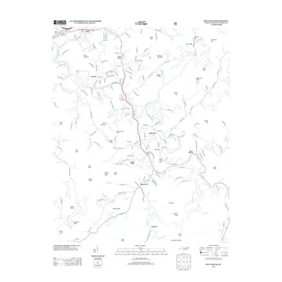
2013 Map of Sylva South
USGS Topo · Published 2013About this map
Cullowhee and the Tuckasegee River dominate this landscape in Jackson County, where the river's winding course dictates the placement of long-established mountain communities. The valley is home to a concentration of civic and educational infrastructure, including the Jackson County Farm and Jackson County Airport. This era shows significant residential development spreading through Forest Hills and Webster, while older enclaves like East Laport and Speedwell remain anchored to the riverbanks. High ridges such as Rocky Face Ridge and Cullowhee Mountain hem in the developed valleys, showing the persistent influence of topography on local settlement patterns.
Find a feature on this map
187 named features on this map. Tap any name to fly to it.
Don’t see what you’re looking for? This feature index may not catch every label — zoom into the map to look around manually.
Map Details
Editions of this 2013 Sylva South Map
This is the sole edition of this map. No revisions or reprints were ever made.
Other maps of this area

1891 · Cowee
USGS Topo · 1:125,000

1897 · Cowee
USGS Topo · 1:125,000

1907 · Cowee
USGS Topo · 1:125,000

1933 · Bryson
USGS Topo · 1:62,500

1935 · Tuckaseigee
USGS Topo · 1:24,000

1935 · Hazelwood
USGS Topo · 1:24,000

1935 · Cullowhee
USGS Topo · 1:24,000

1935 · Addie
USGS Topo · 1:24,000

1935 · Glenville
USGS Topo · 1:24,000

1935 · Corbin Knob
USGS Topo · 1:24,000