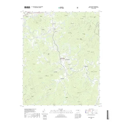
2019 Map of Sylva South
USGS Topo · Published 2019About this map
Cullowhee and the Tuckasegee River valley dominate this landscape, which is defined by the sharp vertical relief of the Great Balsam Mountains. The map highlights the interplay between the riverside settlements of Sylva, Webster, and Dillsboro and the surrounding high-elevation gaps and knobs. Distinctive features like the Jackson County Airport on Berry Mtn and Fairview Memorial Gardens near Love Field serve as local landmarks. The eastern portion of the map is heavily forested, containing a large expanse of the Nantahala National Forest and numerous named ridges such as Rocky Face Ridge and Carver Ridge. This 2019 data presents a modern view of traditional Blue Ridge communities, where development follows the winding paths of Cullowhee Cr and Savannah Cr.
Find a feature on this map
88 named features on this map. Tap any name to fly to it.
Don’t see what you’re looking for? This feature index may not catch every label — zoom into the map to look around manually.
Map Details
Editions of this 2019 Sylva South Map
This is the sole edition of this map. No revisions or reprints were ever made.
Other maps of this area

1891 · Cowee
USGS Topo · 1:125,000

1897 · Cowee
USGS Topo · 1:125,000

1907 · Cowee
USGS Topo · 1:125,000

1933 · Bryson
USGS Topo · 1:62,500

1935 · Tuckaseigee
USGS Topo · 1:24,000

1935 · Hazelwood
USGS Topo · 1:24,000

1935 · Cullowhee
USGS Topo · 1:24,000

1935 · Addie
USGS Topo · 1:24,000

1935 · Glenville
USGS Topo · 1:24,000

1935 · Corbin Knob
USGS Topo · 1:24,000