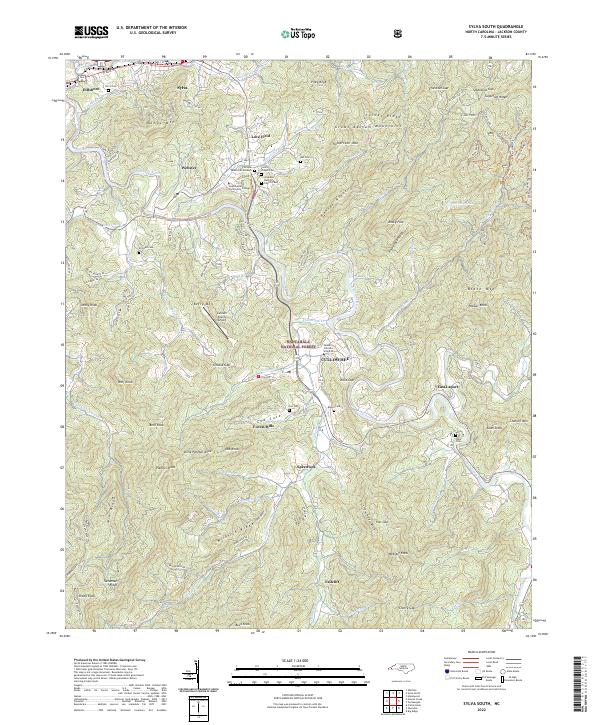
2022 Map of Sylva South
USGS Topo · Published 2022About this map
Cullowhee serves as a central hub in this Southern Appalachian landscape, anchored by the campus of Western Carolina University and the winding course of the Tuckasegee River. The area is defined by its deep connectivity between academic institutions and high-relief terrain, with Southwestern Community College and the Jackson County Airport situated along the valley corridors. Significant family and community history is preserved in small burial grounds such as Stillwell Cem, Parris Cem, and Wike Cem, which dot the slopes above settlements like East Laport and Speedwell. The topography transitions from the valley floors into the heights of the Great Balsam Mountains and the Nantahala National Forest, where named ridges like Mliksick Ridge and peaks such as Kings Mtn shape the drainage patterns of Cullowhee Cr and Savannah Cr.
Find a feature on this map
120 named features on this map. Tap any name to fly to it.
Don’t see what you’re looking for? This feature index may not catch every label — zoom into the map to look around manually.
Map Details
Editions of this 2022 Sylva South Map
This is the sole edition of this map. No revisions or reprints were ever made.
Other maps of this area

1891 · Cowee
USGS Topo · 1:125,000

1897 · Cowee
USGS Topo · 1:125,000

1907 · Cowee
USGS Topo · 1:125,000

1933 · Bryson
USGS Topo · 1:62,500

1935 · Tuckaseigee
USGS Topo · 1:24,000

1935 · Hazelwood
USGS Topo · 1:24,000

1935 · Cullowhee
USGS Topo · 1:24,000

1935 · Addie
USGS Topo · 1:24,000

1935 · Glenville
USGS Topo · 1:24,000

1935 · Corbin Knob
USGS Topo · 1:24,000