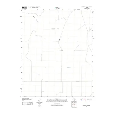
2010 Map of Syndicate Hills
USGS Topo · Published 2010About this map
Syndicate Hills and the Bennett Sand Hills define this corner of the Texas Panhandle, where the landscape is shaped by the practical needs of ranching and water management. The area is marked by working sites such as McCrory Ranch and the distinctive Twin Mill, reflecting the infrastructure required for high-plains agriculture. Human geography here is defined by long, straight thoroughfares including Middlewater Rd, Byrd Rd, and Brown Rd that cut across the terrain to connect remote homesteads. Mildred Lake stands out as a notable water feature in an otherwise arid environment, serving as a critical landmark for local land use and navigation in Hartley County.
Find a feature on this map
8 named features on this map. Tap any name to fly to it.
Don’t see what you’re looking for? This feature index may not catch every label — zoom into the map to look around manually.
Map Details
Editions of this 2010 Syndicate Hills Map
This is the sole edition of this map. No revisions or reprints were ever made.
Other maps of this area

1954 · Tucumcari
USGS Topo · 1:250,000

1954 · Dalhart
USGS Topo · 1:250,000

1958 · Tucumcari
USGS Topo · 1:250,000

1958 · Dalhart
USGS Topo · 1:250,000

1962 · Dalhart
USGS Topo · 1:250,000

1971 · Middle Water
USGS Topo · 1:24,000

1971 · Syndicate Hills
USGS Topo · 1:24,000

1971 · Beck Ranch
USGS Topo · 1:24,000

1971 · Whiteaker Ranch
USGS Topo · 1:24,000

1973 · King SW
USGS Topo · 1:24,000