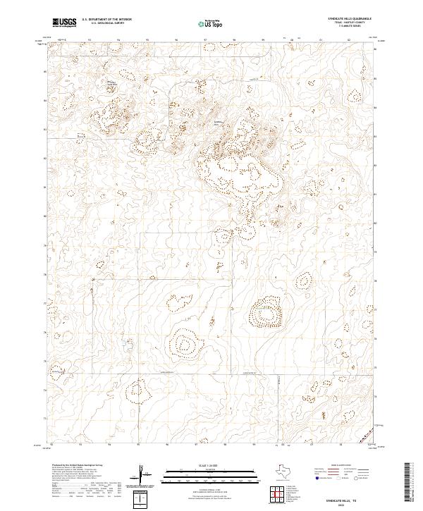
2022 Map of Syndicate Hills
USGS Topo · Published 2022About this map
Syndicate Hills and the Bennett Sand Hills define this high plains landscape in the northwest corner of Texas. This territory in Hartley County is characterized by wind-shaped topography and sparse water sources, most notably Mildred Lake. The mapping reflects a region of large-scale landholdings and isolated ranch access, where the movement of people and livestock relies on a simple network of rural routes. Local transit is concentrated along Middlewater Rd, Newson Rd, and Brown Rd, which cut through the undulating sand hills. The reliance on these named roads and the singular presence of the lake highlight the geographic constraints of this semi-arid ranching environment near the state line.
Find a feature on this map
7 named features on this map. Tap any name to fly to it.
Don’t see what you’re looking for? This feature index may not catch every label — zoom into the map to look around manually.
Map Details
Editions of this 2022 Syndicate Hills Map
This is the sole edition of this map. No revisions or reprints were ever made.
Other maps of this area

1954 · Tucumcari
USGS Topo · 1:250,000

1954 · Dalhart
USGS Topo · 1:250,000

1958 · Tucumcari
USGS Topo · 1:250,000

1958 · Dalhart
USGS Topo · 1:250,000

1962 · Dalhart
USGS Topo · 1:250,000

1971 · Middle Water
USGS Topo · 1:24,000

1971 · Syndicate Hills
USGS Topo · 1:24,000

1971 · Beck Ranch
USGS Topo · 1:24,000

1971 · Whiteaker Ranch
USGS Topo · 1:24,000

1973 · King SW
USGS Topo · 1:24,000