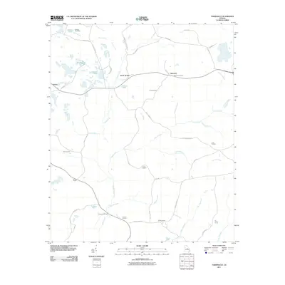
2011 Map of Tabernacle
USGS Topo · Published 2011About this map
Buffalo Creek and its many tributaries, including Panther Run and Wheeler Creek, define the rural landscape of Washington County in this early 21st-century survey. The area is characterized by a network of small settlements like Tabernacle, Brook Springs, and Hebron, connected by long-established routes such as Tucker Rd and Old Eighty Five Rd. Genealogy is central to this map's story, with several family and community burial grounds documented, including Smith Cemetery, Forbes Cemetery, and Moye Cemetery.
Find a feature on this map
52 named features on this map. Tap any name to fly to it.
Don’t see what you’re looking for? This feature index may not catch every label — zoom into the map to look around manually.
Map Details
Editions of this 2011 Tabernacle Map
This is the sole edition of this map. No revisions or reprints were ever made.
Other maps of this area

1912 · Milledgeville
USGS Topo · 1:62,500

1916 · Irwinton
USGS Topo · 1:62,500

1920 · Irwinton
USGS Topo · 1:62,500

1953 · Athens
USGS Topo · 1:250,000

1957 · Macon
USGS Topo · 1:250,000

1958 · Macon
USGS Topo · 1:250,000

1958 · Athens
USGS Topo · 1:250,000

1959 · Athens
USGS Topo · 1:250,000

1961 · Deepstep
USGS Topo · 1:24,000

1961 · Warthen
USGS Topo · 1:24,000