
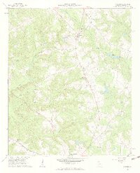
1961 Map of Warthen
USGS Topo · Published 1963About this map
Warthen sits at the heart of this agricultural and forest landscape in Washington County, defined by a dense network of creek valleys and small rural congregations. The area is characterized by its numerous historic church sites, including Mt Olive Ch and Bethlehem Ch, which served as the social anchors for local farming families. The terrain is deeply carved by the Williamson Swamp Creek and Carters Mill Creek systems, creating a mosaic of wetlands and millponds like Mays Millpond.
Find a feature on this map
23 named features on this map. Tap any name to fly to it.
Don’t see what you’re looking for? This feature index may not catch every label — zoom into the map to look around manually.
Map Details
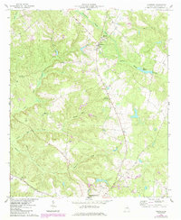
Editions of this 1961 Warthen Map
3 editions found
Other maps of this area

1953 · Athens
USGS Topo · 1:250,000

1957 · Macon
USGS Topo · 1:250,000

1958 · Macon
USGS Topo · 1:250,000

1958 · Athens
USGS Topo · 1:250,000

1959 · Athens
USGS Topo · 1:250,000

1960 · Warthen NE
USGS Topo · 1:24,000

1961 · Deepstep
USGS Topo · 1:24,000

1961 · Warthen NW
USGS Topo · 1:24,000

1962 · Tabernacle
USGS Topo · 1:24,000

1962 · Sandersville
USGS Topo · 1:24,000