
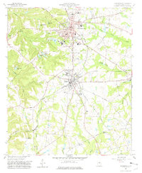
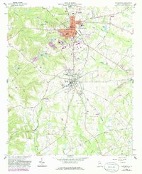
1962 Map of Sandersville
USGS Topo · Published 1963About this map
Sandersville and neighboring Tennille anchor this mid-century look at the Georgia coastal plain, where the industrial presence of the Central of Georgia railway intersects with the region's agricultural and mining history. The map records a landscape shaped by local water resources, featuring numerous family-named landmarks such as Anderson Pond and Cedar Meadow Pond, alongside a dedicated Fish Hatchery and a large Settling Basin indicative of local mineral extraction. A network of country churches and schools, including Limestone Ch, Sisters Ch, and Crawford Sch, underscores the established rural communities surrounding the county seat. Notable civic infrastructure like the Courthouse and Memorial Hospital are clearly detailed within the urbanized red-tinted zones of the primary settlements.
Find a feature on this map
57 named features on this map. Tap any name to fly to it.
Don’t see what you’re looking for? This feature index may not catch every label — zoom into the map to look around manually.
Map Details
Editions of this 1962 Sandersville Map
3 editions found
Other maps of this area

1953 · Athens
USGS Topo · 1:250,000

1957 · Macon
USGS Topo · 1:250,000

1958 · Macon
USGS Topo · 1:250,000

1958 · Athens
USGS Topo · 1:250,000

1959 · Athens
USGS Topo · 1:250,000

1961 · Deepstep
USGS Topo · 1:24,000

1961 · Warthen
USGS Topo · 1:24,000

1962 · Oconee
USGS Topo · 1:24,000

1962 · Irwins Crossroads
USGS Topo · 1:24,000

1962 · Tabernacle
USGS Topo · 1:24,000