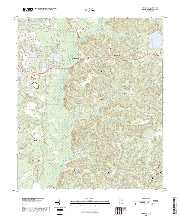
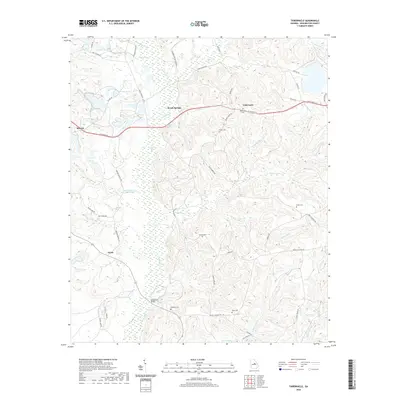
2024 Map of Tabernacle
USGS Topo · Published 2024About this map
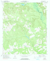
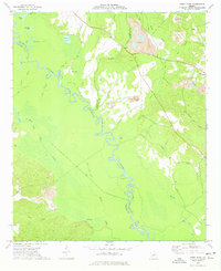
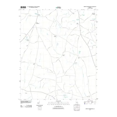
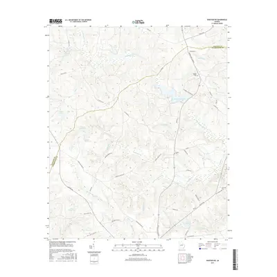
Tabernacle and Brook Springs anchor this rural landscape in central Georgia, where a dense network of country roads connects family settlements and historical cemeteries. The terrain is defined by the branching tributaries of Buffalo Creek and Lamars Creek, which carve through the land to create numerous small basins occupied by Doolittle Pond, George Pond, and Cochran Pond. This 2024 map documents the continued prominence of local family names in the geography, seen in labels like Forbes Cem and Rutherford Cem.
Find a feature on this map
56 named features on this map. Tap any name to fly to it.
Don’t see what you’re looking for? This feature index may not catch every label — zoom into the map to look around manually.
Map Details
Editions of this 2024 Tabernacle Map
This is the sole edition of this map. No revisions or reprints were ever made.
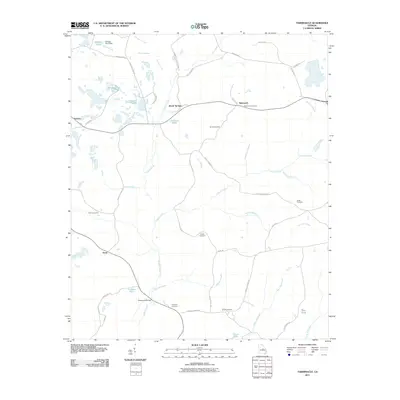
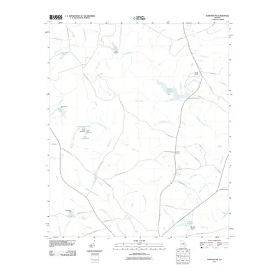
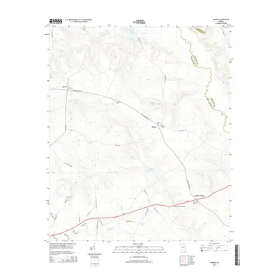
Historical Maps of Ennis Through Time
30 maps found
1960 Warthen NE
Washington County, GA
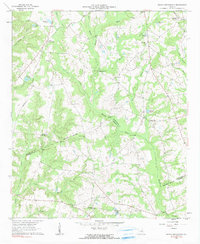
1962 Irwins Crossroads
Washington County, GA
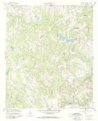
1962 Tabernacle
Washington County, GA
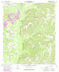
1972 Downs
Washington County, GA
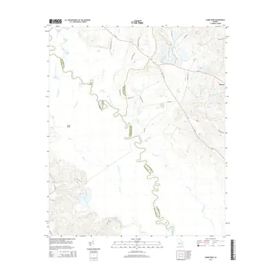
1973 Gumm Pond
Washington County, GA
2011 Downs
Washington County, GA
2011 Gumm Pond
Washington County, GA
2011 Irwins Crossroads
Washington County, GA
2011 Tabernacle
Washington County, GA
2011 Warthen NE
Washington County, GA
2014 Downs
Washington County, GA
2014 Gumm Pond
Washington County, GA
2014 Irwins Crossroads
Washington County, GA
2014 Tabernacle
Washington County, GA
2014 Warthen NE
Washington County, GA
2017 Downs
Washington County, GA
2017 Gumm Pond
Washington County, GA
2017 Irwins Crossroads
Washington County, GA
2017 Tabernacle
Washington County, GA
2017 Warthen NE
Washington County, GA
2020 Downs
Washington County, GA
2020 Gumm Pond
Washington County, GA
2020 Irwins Crossroads
Washington County, GA
2020 Tabernacle
Washington County, GA
2020 Warthen NE
Washington County, GA
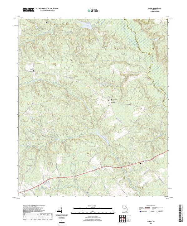
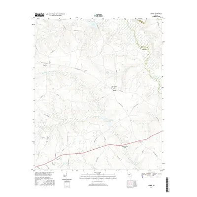
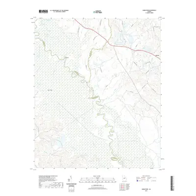
2024 Downs
Washington County, GA
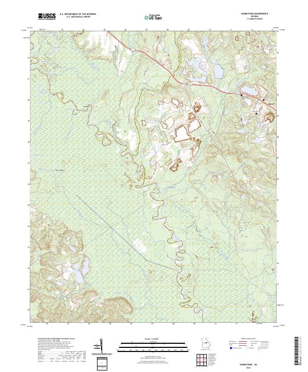
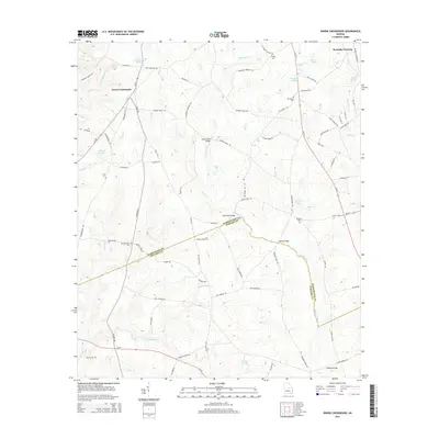
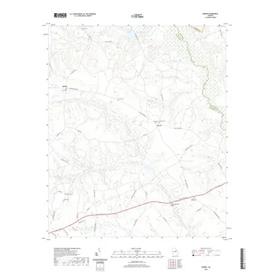
2024 Gumm Pond
Washington County, GA
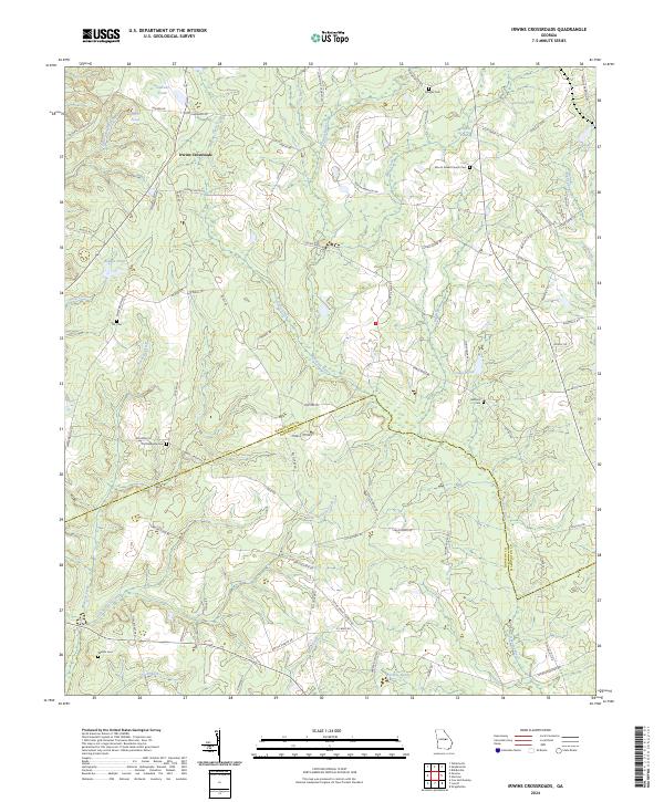
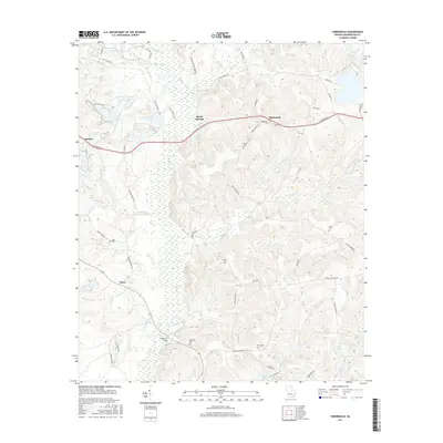
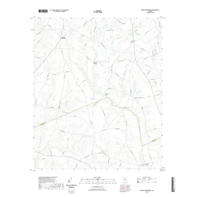
2024 Irwins Crossroads
Washington County, GA
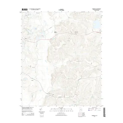
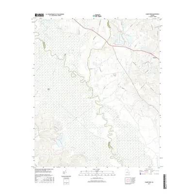
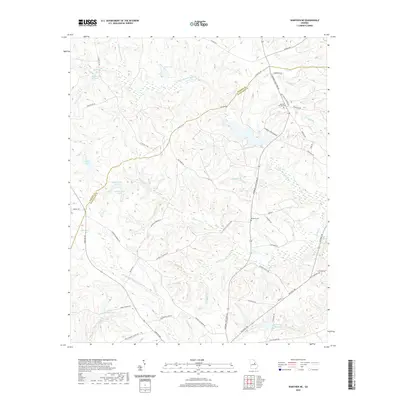
2024 Tabernacle
Washington County, GA
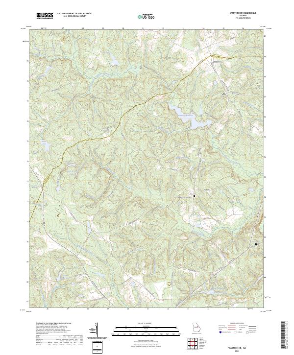
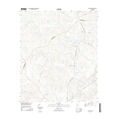
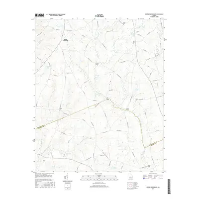
2024 Warthen NE
Washington County, GA