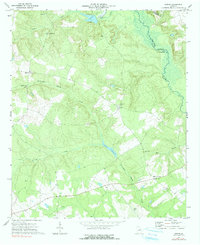
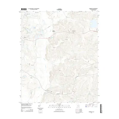
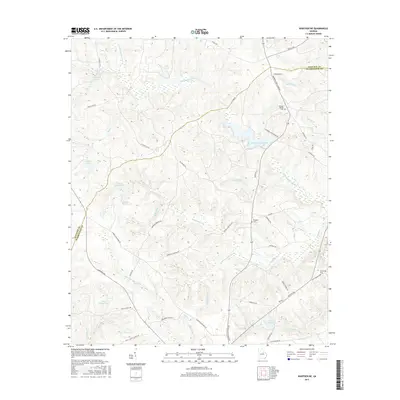
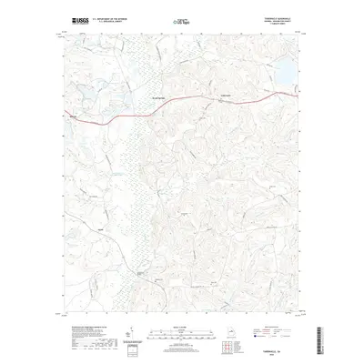
1962 Map of Tabernacle
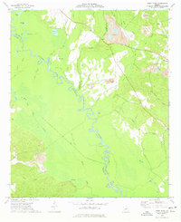
USGS Topo · Published 1986About this map
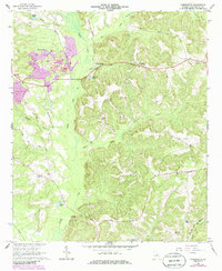
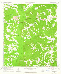
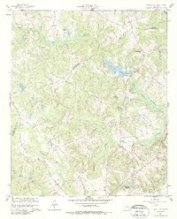
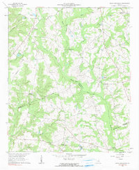
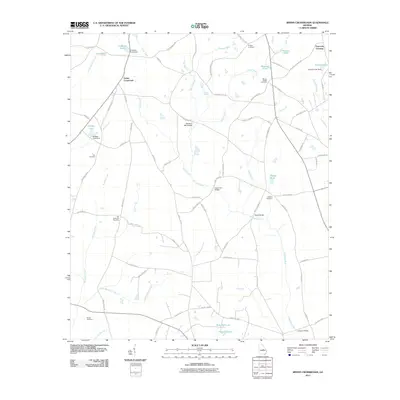
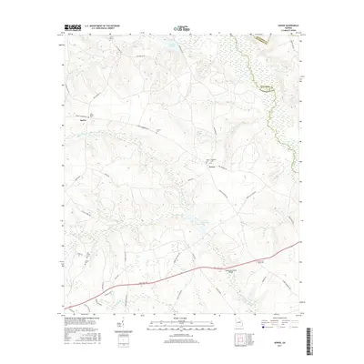
Strip mining operations and open pit excavations mark the landscape of this Washington County region, particularly around Hebron in the west. These industrial sites contrast with the traditional rural network of family-named landmarks and country churches that define the local geography. Significant water features like Buffalo Creek and Keg Creek drain the terrain, which is dotted with numerous small impoundments such as Doolittle Pond and Cochran Pond.
Find a feature on this map
36 named features on this map. Tap any name to fly to it.
Don’t see what you’re looking for? This feature index may not catch every label — zoom into the map to look around manually.
Map Details
Editions of this 1962 Tabernacle Map
2 editions found
Historical Maps of Ennis Through Time
30 maps found
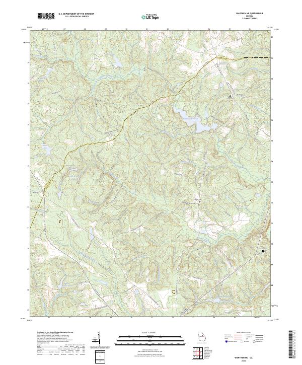
1960 Warthen NE
Washington County, GA
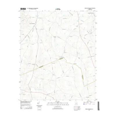
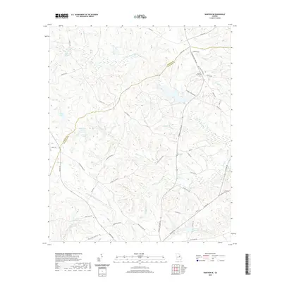
1962 Irwins Crossroads
Washington County, GA
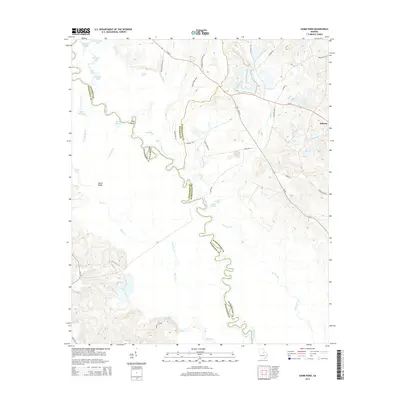
1962 Tabernacle
Washington County, GA
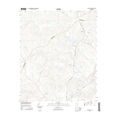
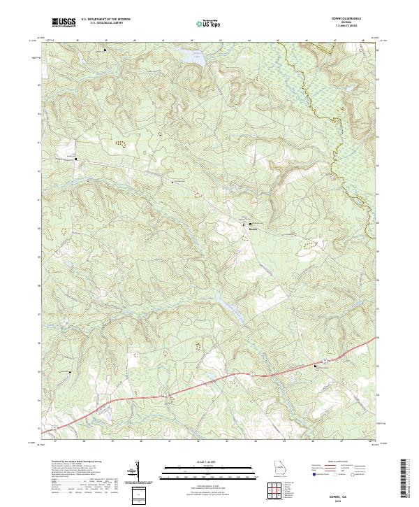
1972 Downs
Washington County, GA
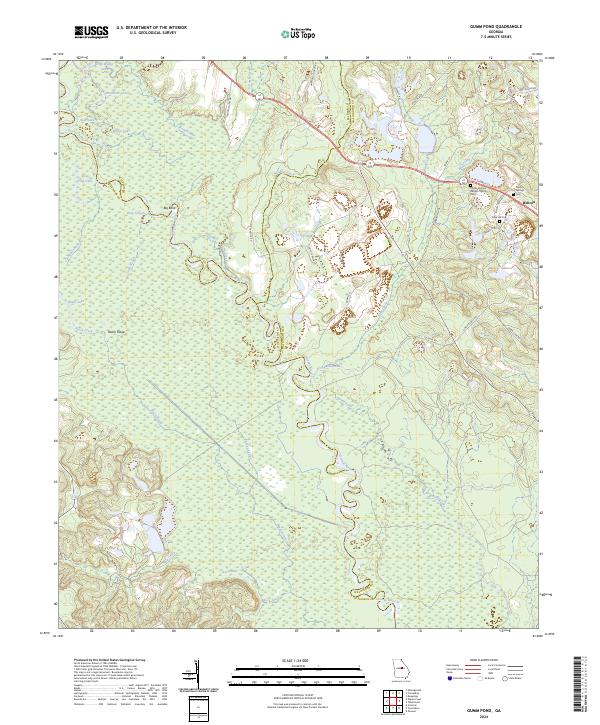
1973 Gumm Pond
Washington County, GA
2011 Downs
Washington County, GA
2011 Gumm Pond
Washington County, GA
2011 Irwins Crossroads
Washington County, GA
2011 Tabernacle
Washington County, GA
2011 Warthen NE
Washington County, GA
2014 Downs
Washington County, GA
2014 Gumm Pond
Washington County, GA
2014 Irwins Crossroads
Washington County, GA
2014 Tabernacle
Washington County, GA
2014 Warthen NE
Washington County, GA
2017 Downs
Washington County, GA
2017 Gumm Pond
Washington County, GA
2017 Irwins Crossroads
Washington County, GA
2017 Tabernacle
Washington County, GA
2017 Warthen NE
Washington County, GA
2020 Downs
Washington County, GA
2020 Gumm Pond
Washington County, GA
2020 Irwins Crossroads
Washington County, GA
2020 Tabernacle
Washington County, GA
2020 Warthen NE
Washington County, GA
2024 Downs
Washington County, GA
2024 Gumm Pond
Washington County, GA
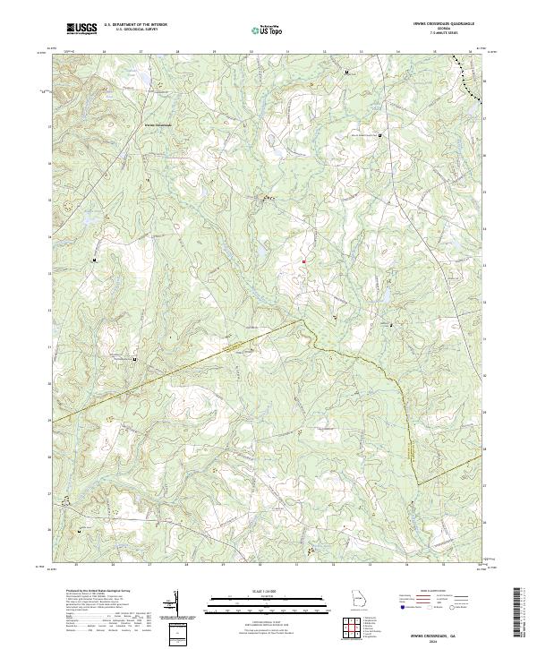
2024 Irwins Crossroads
Washington County, GA
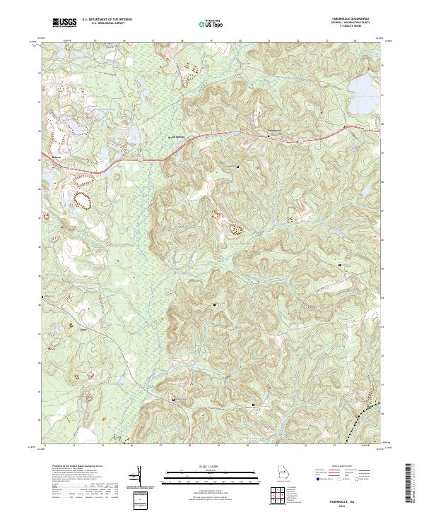
2024 Tabernacle
Washington County, GA
2024 Warthen NE
Washington County, GA