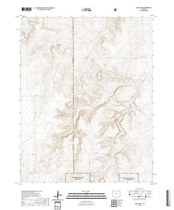
2022 Map of Table Mesa
USGS Topo · Published 2022About this map
Comanche National Grassland defines the southern portion of this high plains landscape on the border of Las Animas and Baca Counties. The terrain is characterized by the prominent Table Mesa and a network of drainages that have carved deep paths through the soil, including Cat Canyon and Soldier Canyon. Water remains a central element of the map's geography, with several named points such as Watt Spring, O'Hair Spring, and Twin Springs providing vital resources in an otherwise arid environment. Along Co RD 223, the Robb Cem stands as a quiet marker of the area's early residents. The drainage patterns of Burro Arroyo, Freezeout Cr, and Soldier Cr illustrate how the land was shaped, while a grid of county roads indicates the persistence of rural ranching and land management in the 21st century.
Find a feature on this map
30 named features on this map. Tap any name to fly to it.
Don’t see what you’re looking for? This feature index may not catch every label — zoom into the map to look around manually.
Map Details
Editions of this 2022 Table Mesa Map
This is the sole edition of this map. No revisions or reprints were ever made.
Other maps of this area

1891 · Higbee
USGS Topo · 1:125,000

1891 · Springfield
USGS Topo · 1:125,000

1892 · Two Butte
USGS Topo · 1:125,000

1892 · Mt Carrizo
USGS Topo · 1:125,000

1893 · Higbee
USGS Topo · 1:125,000

1893 · Two Butte
USGS Topo · 1:125,000

1893 · Springfield
USGS Topo · 1:125,000

1955 · La Junta
USGS Topo · 1:250,000

1958 · La Junta
USGS Topo · 1:250,000

1968 · La Junta
USGS Topo · 1:250,000