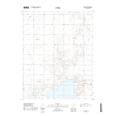
2018 Map of Table Mound
USGS Topo · Published 2018About this map
Elk City Lake and the winding course of the Elk River dominate the southern portion of this landscape in Montgomery County. This contemporary survey details a rural region defined by a grid of section roads and several significant creek drainages, including Sycamore Cr and Mulberry Cr, which carve through the terrain north of the reservoir. For local historians and genealogists, the map is particularly useful for its documentation of cemetery locations such as White Cem, Farm Ridge Cem, Simpson Cem, and Parker Cem.
Find a feature on this map
49 named features on this map. Tap any name to fly to it.
Don’t see what you’re looking for? This feature index may not catch every label — zoom into the map to look around manually.
Map Details
Editions of this 2018 Table Mound Map
This is the sole edition of this map. No revisions or reprints were ever made.
Other maps of this area

1886 · Independence
USGS Topo · 1:125,000

1894 · Independence
USGS Topo · 1:125,000

1905 · Independence
USGS Topo · 1:125,000

1947 · Joplin
USGS Topo · 1:250,000

1949 · Joplin
USGS Topo · 1:250,000

1954 · Joplin
USGS Topo · 1:250,000

1958 · Joplin
USGS Topo · 1:250,000

1959 · Joplin
USGS Topo · 1:250,000
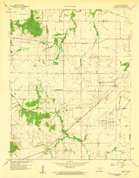
1959 · Bolton
USGS Topo · 1:24,000
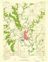
1959 · Neodesha
USGS Topo · 1:24,000