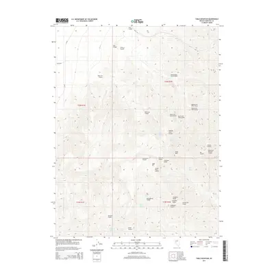
2014 Map of Table Mountain
USGS Topo · Published 2014About this map
The Stillwater Range dominates this Churchill County landscape, characterized by a complex system of drainages and high plateaus. Significant topographical landmarks like Table Mtn and its Carson Table Summit rise above the surrounding terrain, while peaks such as Mt Lincoln and Slaughter Peaks provide clear orientation points within the northern Great Basin environment. The scarcity of permanent water is evident in the reliance on localized sources like Stone House Spring, Elevenmile Springs, and Trap Corral Spring, which were essential for both early travelers and later ranching operations.
Find a feature on this map
41 named features on this map. Tap any name to fly to it.
Don’t see what you’re looking for? This feature index may not catch every label — zoom into the map to look around manually.
Map Details
Editions of this 2014 Table Mountain Map
This is the sole edition of this map. No revisions or reprints were ever made.
Other maps of this area

1908 · Carson Sink
USGS Topo · 1:250,000

1910 · Carson Sink
USGS Topo · 1:250,000

1957 · Reno
USGS Topo · 1:250,000

1959 · Reno
USGS Topo · 1:250,000

1960 · Reno
USGS Topo · 1:250,000

1969 · Cox Canyon
USGS Topo · 1:24,000

1969 · Table Mtn
USGS Topo · 1:24,000

1969 · Pintail Bay
USGS Topo · 1:24,000

1969 · Foxtail Lake
USGS Topo · 1:24,000

1972 · Pirouette Mtn
USGS Topo · 1:24,000