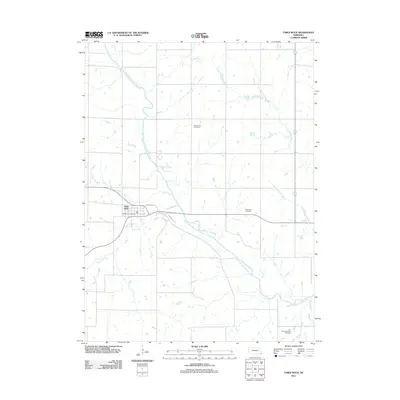
2011 Map of Table Rock
USGS Topo · Published 2011About this map
The North Fork Big Nemaha River winds through the heart of this Pawnee County landscape, dictating the placement of the village of Table Rock. The community is oriented around the crossing of Wyoming St and Tecumseh St, where the central Table Rock Post Office serves as a local anchor. The surrounding agricultural land is drained by a dense network of tributaries including Kirkham Creek, Clear Creek, and Round Grove Creek. Genealogy researchers will find several well-defined burial grounds across the area, from the Saint Johns Cemetery in the north to the Bohemian Cemetery and the Dry Branch Pioneer Cemetery further south. The drainage patterns of Taylor Branch and Dry Branch illustrate the dissected terrain that characterises this corner of Nebraska.
Find a feature on this map
13 named features on this map. Tap any name to fly to it.
Don’t see what you’re looking for? This feature index may not catch every label — zoom into the map to look around manually.
Map Details
Editions of this 2011 Table Rock Map
This is the sole edition of this map. No revisions or reprints were ever made.
Other maps of this area

1915 · Howe
USGS Topo · 1:62,500

1916 · Humboldt
USGS Topo · 1:62,500

1955 · Nebraska City
USGS Topo · 1:250,000

1955 · Lincoln
USGS Topo · 1:250,000

1957 · Nebraska City
USGS Topo · 1:250,000

1957 · Lincoln
USGS Topo · 1:250,000

1958 · Lincoln
USGS Topo · 1:250,000

1958 · Nebraska City
USGS Topo · 1:250,000

1965 · Pawnee City
USGS Topo · 1:24,000

1965 · Table Rock
USGS Topo · 1:24,000