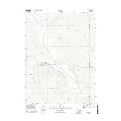
2014 Map of Table Rock
USGS Topo · Published 2014About this map
The North Fork Big Nemaha River carves a deep valley through this Pawnee County landscape, dictating the placement of the settlement at Table Rock. This community is oriented along a grid of streets including Grand St, State St, and Pennsylvania St, situated just west of the river's bend and north of Railroad Dr. The topography reveals a complex network of drainage, where Clear Cr and Taylor Br feed into the main river channel from the west.
Find a feature on this map
43 named features on this map. Tap any name to fly to it.
Don’t see what you’re looking for? This feature index may not catch every label — zoom into the map to look around manually.
Map Details
Editions of this 2014 Table Rock Map
This is the sole edition of this map. No revisions or reprints were ever made.
Other maps of this area

1915 · Howe
USGS Topo · 1:62,500

1916 · Humboldt
USGS Topo · 1:62,500

1955 · Nebraska City
USGS Topo · 1:250,000

1955 · Lincoln
USGS Topo · 1:250,000

1957 · Nebraska City
USGS Topo · 1:250,000

1957 · Lincoln
USGS Topo · 1:250,000

1958 · Lincoln
USGS Topo · 1:250,000

1958 · Nebraska City
USGS Topo · 1:250,000

1965 · Pawnee City
USGS Topo · 1:24,000

1965 · Table Rock
USGS Topo · 1:24,000