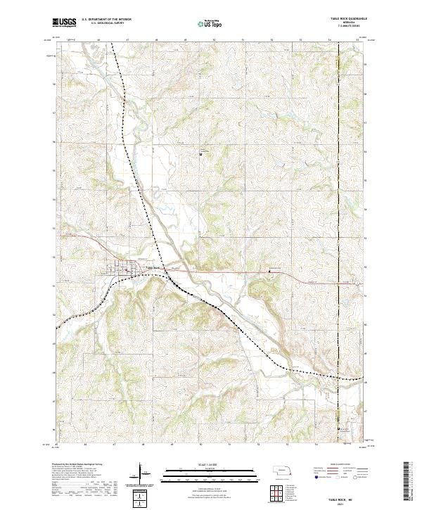
2021 Map of Table Rock
USGS Topo · Published 2021About this map
Table Rock serves as the primary hub in this corner of Pawnee County, situated along the North Fork Big Nemaha River. The village layout is defined by a grid of streets including Grand St, State St, and Wyoming St, while Railroad Dr follows the historic path of the rail line through the valley. The surrounding landscape is etched with numerous watercourses such as Kirkham Cr, Round Grove Cr, and Taylor Br, which feed into the main river system.
Find a feature on this map
37 named features on this map. Tap any name to fly to it.
Don’t see what you’re looking for? This feature index may not catch every label — zoom into the map to look around manually.
Map Details
Editions of this 2021 Table Rock Map
This is the sole edition of this map. No revisions or reprints were ever made.
Other maps of this area

1915 · Howe
USGS Topo · 1:62,500

1916 · Humboldt
USGS Topo · 1:62,500

1955 · Nebraska City
USGS Topo · 1:250,000

1955 · Lincoln
USGS Topo · 1:250,000

1957 · Nebraska City
USGS Topo · 1:250,000

1957 · Lincoln
USGS Topo · 1:250,000

1958 · Lincoln
USGS Topo · 1:250,000

1958 · Nebraska City
USGS Topo · 1:250,000

1965 · Pawnee City
USGS Topo · 1:24,000

1965 · Table Rock
USGS Topo · 1:24,000