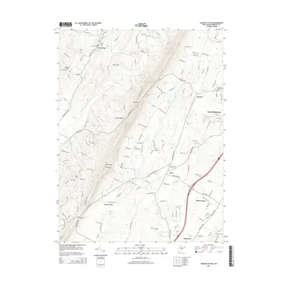
2014 Map of Tablers Station
USGS Topo · Published 2014About this map
North Mountain and the high point at Roundtop anchor the western terrain of this Berkeley County landscape, while the sprawling outskirts of Martinsburg press in from the northeast. The rural-suburban transition is evident in the cluster of historical settlements like Arden, Nollville, and Darkesville, which remain connected by long-established routes such as the Tuscarora Pike. Several springs, including Buck Hill and McDonald Spring, suggest the area's limestone-rich geology and its role in supporting early mountain homesteads and valley farms.
Find a feature on this map
142 named features on this map. Tap any name to fly to it.
Don’t see what you’re looking for? This feature index may not catch every label — zoom into the map to look around manually.
Map Details
Editions of this 2014 Tablers Station Map
This is the sole edition of this map. No revisions or reprints were ever made.
Other maps of this area

1884 · Harpers Ferry
USGS Topo · 1:125,000

1891 · Harpers Ferry
USGS Topo · 1:125,000

1893 · Harpers Ferry
USGS Topo · 1:125,000

1894 · Winchester
USGS Topo · 1:125,000

1899 · Hancock
USGS Topo · 1:62,500

1901 · Hancock
USGS Topo · 1:62,500

1912 · Williamsport
USGS Topo · 1:62,500

1914 · Martinsburg
USGS Topo · 1:48,000

1914 · Gerrardstown
USGS Topo · 1:48,000

1916 · Gerrardstown
USGS Topo · 1:62,500