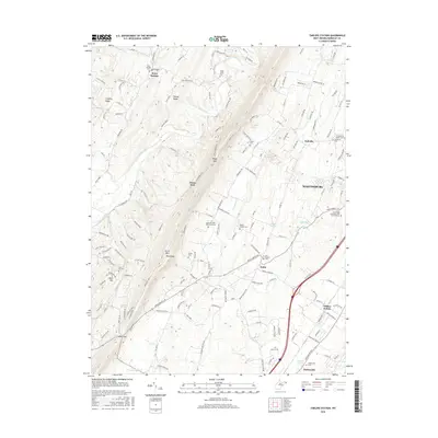
2016 Map of Tablers Station
USGS Topo · Published 2016About this map
Martinsburg and its surrounding agricultural and industrial corridors are captured here during a period of modern expansion in Berkeley County. The landscape is defined by the prominent ridge of North Mountain, where peaks like Roundtop and Goose Nest overlook a network of valley settlements and historical sites. This area is particularly rich for genealogical research, documenting numerous small burial grounds and places of worship such as the Old Quaker Cemetery, Pitzers Chapel Cemetery, and Jacob Snider Cemetery.
Find a feature on this map
162 named features on this map. Tap any name to fly to it.
Don’t see what you’re looking for? This feature index may not catch every label — zoom into the map to look around manually.
Map Details
Editions of this 2016 Tablers Station Map
This is the sole edition of this map. No revisions or reprints were ever made.
Other maps of this area

1884 · Harpers Ferry
USGS Topo · 1:125,000

1891 · Harpers Ferry
USGS Topo · 1:125,000

1893 · Harpers Ferry
USGS Topo · 1:125,000

1894 · Winchester
USGS Topo · 1:125,000

1899 · Hancock
USGS Topo · 1:62,500

1901 · Hancock
USGS Topo · 1:62,500

1912 · Williamsport
USGS Topo · 1:62,500

1914 · Martinsburg
USGS Topo · 1:48,000

1914 · Gerrardstown
USGS Topo · 1:48,000

1916 · Gerrardstown
USGS Topo · 1:62,500