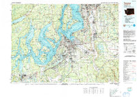
1991 Map of Tacoma
USGS Topo · Published 1991About this map
The Commencement Bay waterfront and the industrial corridors of the South Sound anchor this 1991 survey, which captures the region at a period of significant suburban consolidation. Central to the map is Tacoma, flanked by burgeoning residential areas like Lakewood Center and Parkland. The landscape is heavily defined by federal and maritime activity, from the sprawling Fort Lewis Military Reservation and McChord Air Force Base to the deep-water inlets of Carr Inlet and Case Inlet.
Find a feature on this map
82 named features on this map. Tap any name to fly to it.
Don’t see what you’re looking for? This feature index may not catch every label — zoom into the map to look around manually.
Map Details
Editions of this 1991 Tacoma Map
This is the sole edition of this map. No revisions or reprints were ever made.
Other maps of this area

1894 · Seattle
USGS Topo · 1:62,500

1895 · Snohomish
USGS Topo · 1:125,000

1897 · Tacoma
USGS Topo · 1:125,000

1897 · Seattle
USGS Topo · 1:125,000

1900 · Tacoma
USGS Topo · 1:125,000

1908 · Seattle
USGS Topo · 1:62,500

1909 · Seattle Special
USGS Topo · 1:62,500
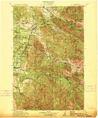
1913 · Cedar Lake
USGS Topo · 1:125,000
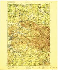
1916 · Chehalis
USGS Topo · 1:125,000
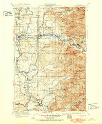
1921 · Sultan
USGS Topo · 1:125,000