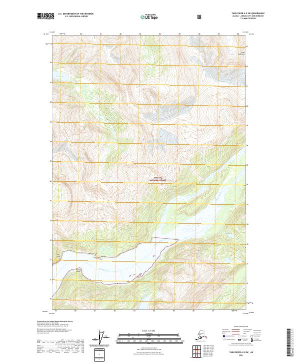
2021 Map of Taku River A-5 SW
USGS Topo · Published 2021About this map
The Whiting River carves a deep valley through the Coast Mountains of Southeast Alaska, marking the primary drainage within this portion of the Tongass National Forest. The landscape is defined by extreme relief and glacial activity, with Tease Lake occupying a high-elevation basin in the northwestern reaches of the survey area. Along the river's lower course, prominent shoreline markers such as Ox Point and Whiting Point define the transition between the freshwater systems and the surrounding fjord-like terrain. This 2021 survey by the U.S. Geological Survey documents the remote wilderness character of Juneau City and Borough, where the absence of roads or permanent settlements emphasizes the region's preservation as a primary national forest resource.
Find a feature on this map
11 named features on this map. Tap any name to fly to it.
Don’t see what you’re looking for? This feature index may not catch every label — zoom into the map to look around manually.
Map Details
Editions of this 2021 Taku River A-5 SW Map
This is the sole edition of this map. No revisions or reprints were ever made.
Other maps of this area

1948 · Sumdum D-6
USGS Topo · 1:63,360

1948 · Sumdum D-5
USGS Topo · 1:63,360

1951 · Taku River A-5
USGS Topo · 1:63,360

1951 · Taku River A-6
USGS Topo · 1:63,360

1951 · Sumdum D-6
USGS Topo · 1:63,360

1952 · Sumdum
USGS Topo · 1:250,000

1953 · Taku River
USGS Topo · 1:250,000

1955 · Sumdum D-5
USGS Topo · 1:63,360

1960 · Taku River
USGS Topo · 1:250,000

1961 · Sumdum
USGS Topo · 1:250,000