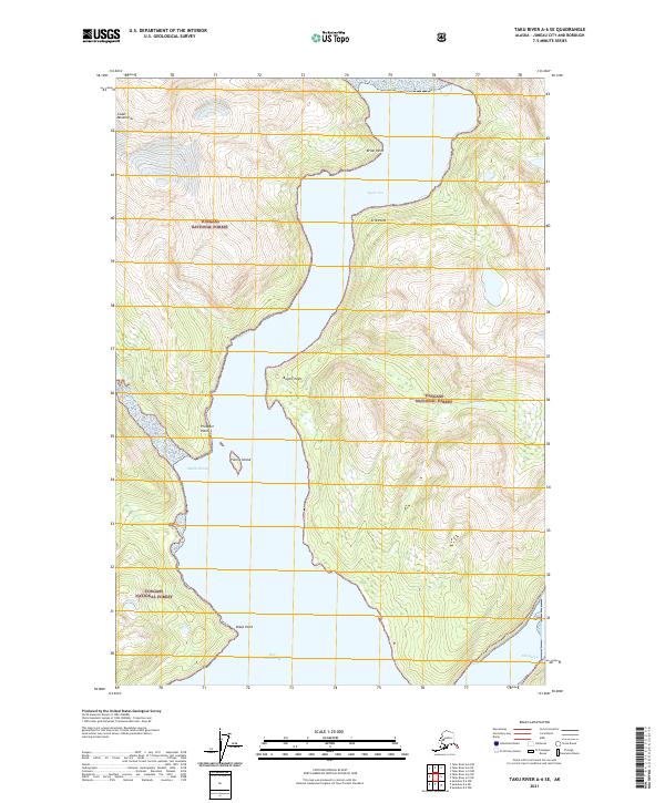
2021 Map of Taku River A-6 SE
USGS Topo · Published 2021About this map
Speel Arm and Port Snettisham define the aquatic center of this coastal Alaskan landscape, where the tides of the Pacific meet the steep rises of the Coast Mountains. This terrain is almost entirely encompassed by the Tongass National Forest, illustrating a wilderness largely untouched by permanent settlement or infrastructure. The waterway is punctuated by numerous named coastal landmarks, including Bride Point, Crib Point, and Bogert Point, which serve as critical navigational markers along the deep fjord-like passages.
Find a feature on this map
19 named features on this map. Tap any name to fly to it.
Don’t see what you’re looking for? This feature index may not catch every label — zoom into the map to look around manually.
Map Details
Editions of this 2021 Taku River A-6 SE Map
This is the sole edition of this map. No revisions or reprints were ever made.
Other maps of this area

1948 · Sumdum D-6
USGS Topo · 1:63,360

1948 · Sumdum D-5
USGS Topo · 1:63,360

1951 · Taku River A-5
USGS Topo · 1:63,360

1951 · Taku River A-6
USGS Topo · 1:63,360

1951 · Sumdum D-6
USGS Topo · 1:63,360

1952 · Sumdum
USGS Topo · 1:250,000

1953 · Taku River
USGS Topo · 1:250,000

1955 · Sumdum D-5
USGS Topo · 1:63,360

1960 · Taku River
USGS Topo · 1:250,000

1961 · Sumdum
USGS Topo · 1:250,000