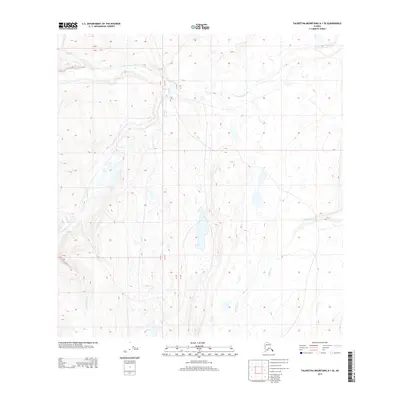
2013 Map of Talkeetna Mountains A-1 SE
USGS Topo · Published 2013About this map
Little Nelchina River flows across the northern reaches of this interior Alaskan landscape, which is defined by its complex drainage network and numerous small glacial ponds. The hydrologic patterns are remarkably intricate here, with Crooked Cr and Tululio Cr winding through the western portion of the quadrangle while Old Man Cr and Cottonwood Cr carve through the southern terrain. This 2013 survey illustrates the remote character of the Talkeetna Mountains region, where no major roads or settlements are recorded, leaving the land's natural contours and watercourses as the primary landmarks. The presence of numerous unnamed lakes and marshes between the established creeks suggests a saturated, low-lying environment typical of this high-latitude tundra and forest mosaic.
Find a feature on this map
12 named features on this map. Tap any name to fly to it.
Don’t see what you’re looking for? This feature index may not catch every label — zoom into the map to look around manually.
Map Details
Editions of this 2013 Talkeetna Mountains A-1 SE Map
This is the sole edition of this map. No revisions or reprints were ever made.
Other maps of this area
1948 · Anchorage D-1
USGS Topo · 1:63,360
1949 · Talkeetna Mountains A-1
USGS Topo · 1:63,360
1949 · Gulkana A-6
USGS Topo · 1:63,360
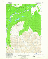
1949 · Valdez D-8
USGS Topo · 1:63,360
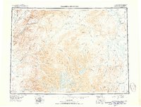
1950 · Talkeetna Mountains
USGS Topo · 1:250,000
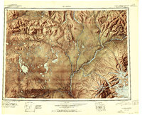
1951 · Gulkana
USGS Topo · 1:250,000
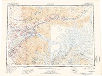
1951 · Anchorage
USGS Topo · 1:250,000
1951 · Anchorage D-1
USGS Topo · 1:63,360
1952 · Valdez D-8
USGS Topo · 1:63,360
1952 · Valdez
USGS Topo · 1:250,000