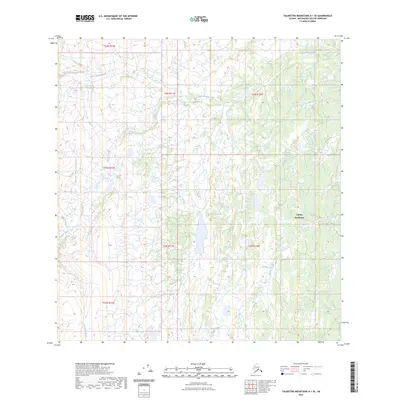
2023 Map of Talkeetna Mountains A-1 SE
USGS Topo · Published 2023About this map
Eureka Roadhouse stands as the primary landmark in this interior Alaskan landscape, situated along a transportation corridor that cuts through the surrounding wilderness. The terrain is defined by the Horn Mountains to the west and a complex network of waterways that drain the high country. The Little Nelchina River meanders across the northern sections, joined by tributaries such as Idaho Creek and Crooked Creek.
Find a feature on this map
15 named features on this map. Tap any name to fly to it.
Don’t see what you’re looking for? This feature index may not catch every label — zoom into the map to look around manually.
Map Details
Editions of this 2023 Talkeetna Mountains A-1 SE Map
This is the sole edition of this map. No revisions or reprints were ever made.
Other maps of this area

1948 · Anchorage D-1
USGS Topo · 1:63,360

1949 · Talkeetna Mountains A-1
USGS Topo · 1:63,360

1949 · Gulkana A-6
USGS Topo · 1:63,360

1949 · Valdez D-8
USGS Topo · 1:63,360

1950 · Talkeetna Mountains
USGS Topo · 1:250,000

1951 · Gulkana
USGS Topo · 1:250,000

1951 · Anchorage
USGS Topo · 1:250,000

1951 · Anchorage D-1
USGS Topo · 1:63,360

1952 · Valdez D-8
USGS Topo · 1:63,360

1952 · Valdez
USGS Topo · 1:250,000