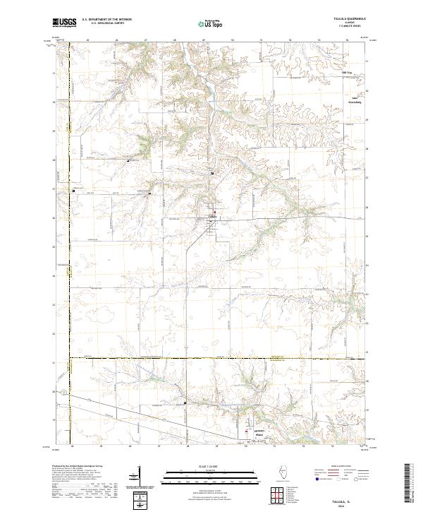
2024 Map of Tallula
USGS Topo · Published 2024About this map
Tallula serves as the central hub for this portion of the Illinois prairie, situated at the junction of several rural corridors. The landscape is defined by the winding paths of Clary Creek and Rock Creek, which cut through the agricultural grid. To the north, Hill Top offers a rare point of elevation near the developing waters of Lake Petersburg. The southern portion of the quadrangle transitions into the outskirts of Pleasant Plains, where the North Fork Richland Creek and Richland Creek converge. Genealogists will find several notable burial sites throughout the township boundaries, including Greenwood Cem, Smedly Cem, and Willson Cem, reflecting the deep-rooted family history of the area. The map illustrates a contemporary road network where names like Rahman Rd and Juhl Rd preserve the identities of early local settlers across the Menard and Sangamon county lines.
Find a feature on this map
76 named features on this map. Tap any name to fly to it.
Don’t see what you’re looking for? This feature index may not catch every label — zoom into the map to look around manually.
Map Details
Editions of this 2024 Tallula Map
This is the sole edition of this map. No revisions or reprints were ever made.
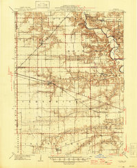
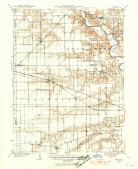
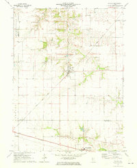
Historical Maps of Pleasant Plains Through Time
4 maps found