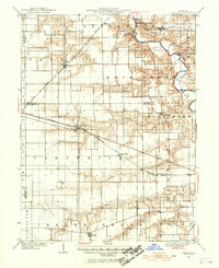
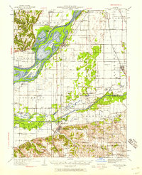
1940 Map of Tallula
USGS Topo · Published 1968About this map
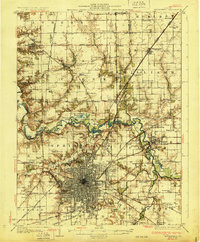
The Sangamon River meanders through the northeastern corner of this landscape, marking the historic grounds of New Salem State Park and the site of the Old Salem Chautauqua. This 1940 revision documents a sophisticated rail network defining the central Illinois prairie, where the Chicago and Kansas City Shortline and the Baltimore and Ohio Southwestern intersect the terrain. Small agricultural hubs and junctions like Pleasant Plains and Tallula are positioned along these corridors, serving as the primary infrastructure for the region's rural economy.
Find a feature on this map
32 named features on this map. Tap any name to fly to it.
Don’t see what you’re looking for? This feature index may not catch every label — zoom into the map to look around manually.
Map Details
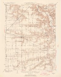
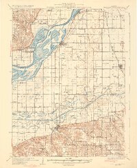
Editions of this 1940 Tallula Map
2 editions found
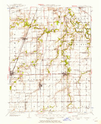
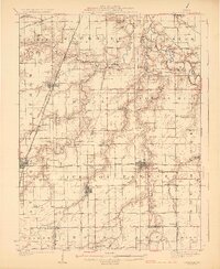
Other maps of this area

1907 · Springfield
USGS Topo · 1:62,500

1909 · Tallula
USGS Topo · 1:62,500
1922 · Divernon
USGS Topo · 1:62,500
1924 · Divernon
USGS Topo · 1:62,500

1924 · Waverly
USGS Topo · 1:62,500

1926 · Waverly
USGS Topo · 1:62,500
1930 · Chandlerville
USGS Topo · 1:62,500
1930 · Springfield
USGS Topo · 1:62,500
1932 · Chandlerville
USGS Topo · 1:62,500

1932 · Jacksonville
USGS Topo · 1:62,500