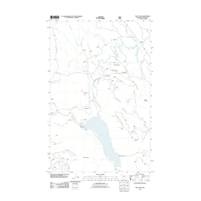
2011 Map of Tally Lake
USGS Topo · Published 2011About this map
Tally Lake dominates this Flathead County landscape, with the Tally Lake Campground situated along its northern shore near the mouth of Logan Creek. The settlement of Lupfer sits in the northeast corner of the quadrangle, positioned where the Stillwater River winds through the valley. This area of Montana is defined by a network of forest development roads, including Lupfer Rd and Star Meadow Rd, which provide access to high-elevation features like Tally Mountain and the deep Stovepipe Canyon.
Find a feature on this map
36 named features on this map. Tap any name to fly to it.
Don’t see what you’re looking for? This feature index may not catch every label — zoom into the map to look around manually.
Map Details
Editions of this 2011 Tally Lake Map
This is the sole edition of this map. No revisions or reprints were ever made.
Other maps of this area

1906 · Kintla Lakes
USGS Topo · 1:125,000

1913 · Stryker
USGS Topo · 1:125,000

1916 · Stryker
USGS Topo · 1:125,000

1938 · Kintla Lakes
USGS Topo · 1:125,000

1943 · Kalispell
USGS Topo · 1:125,000

1957 · Kalispell
USGS Topo · 1:250,000

1960 · Kalispell
USGS Topo · 1:250,000

1961 · Kalispell
USGS Topo · 1:250,000

1962 · Johnson Peak
USGS Topo · 1:24,000

1962 · Beaver Lake
USGS Topo · 1:24,000