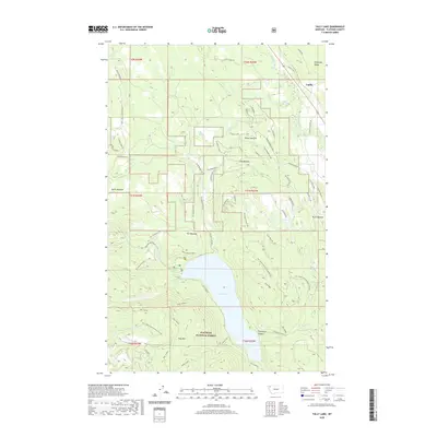
2020 Map of Tally Lake
USGS Topo · Published 2020About this map
Flathead National Forest encompasses this Montana landscape, where the waters of Logan Creek flow south into the prominent Tally Lake. Near the lake's northern shore, the Tally Lake Overlook provides a vantage point over the basin, while the high ground of Tally Mtn and Tally Ridge dominates the southern terrain. This area is characterized by its wide meadows and narrow canyons, including Shorts Meadow, Hill Meadow, and the dramatic Stovepipe Canyon.
Find a feature on this map
56 named features on this map. Tap any name to fly to it.
Don’t see what you’re looking for? This feature index may not catch every label — zoom into the map to look around manually.
Map Details
Editions of this 2020 Tally Lake Map
This is the sole edition of this map. No revisions or reprints were ever made.
Other maps of this area

1906 · Kintla Lakes
USGS Topo · 1:125,000

1913 · Stryker
USGS Topo · 1:125,000

1916 · Stryker
USGS Topo · 1:125,000

1938 · Kintla Lakes
USGS Topo · 1:125,000

1943 · Kalispell
USGS Topo · 1:125,000

1957 · Kalispell
USGS Topo · 1:250,000

1960 · Kalispell
USGS Topo · 1:250,000

1961 · Kalispell
USGS Topo · 1:250,000

1962 · Johnson Peak
USGS Topo · 1:24,000

1962 · Beaver Lake
USGS Topo · 1:24,000