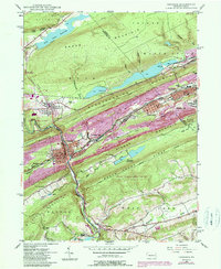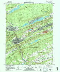
2023 Map of Tamaqua
USGS Topo · Published 2023About this map
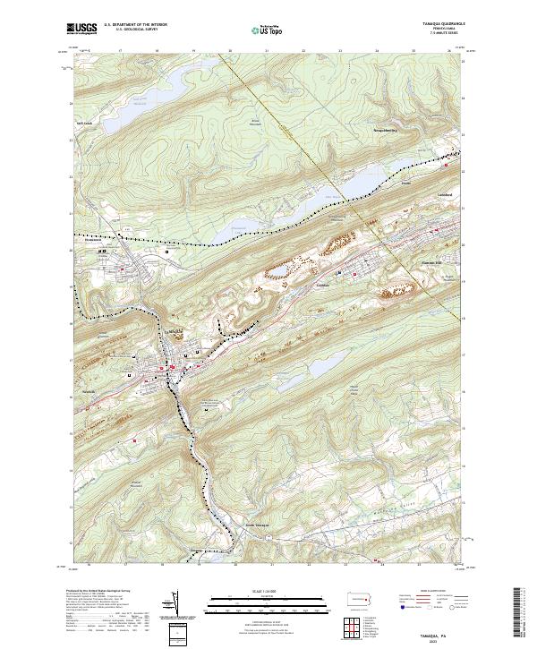
Tamaqua and the surrounding coal region towns of the Panther Valley are defined by a complex landscape of ridges and infrastructure. This modern survey illustrates the industrial legacy of the region, tracing the Lehigh and New England RR as it winds through the narrow gaps between Locust Mountain and Nesquehoning Mountain. The settlement pattern is densely concentrated in the valleys, particularly within Coaldale, Lansford, and Summit Hill, where the grid of streets like W Broad St and E Elm St ends abruptly at the steep slopes of Mauch Chunk Ridge.
Find a feature on this map
142 named features on this map. Tap any name to fly to it.
Don’t see what you’re looking for? This feature index may not catch every label — zoom into the map to look around manually.
Map Details
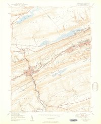
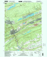
Editions of this 2023 Tamaqua Map
This is the sole edition of this map. No revisions or reprints were ever made.
Historical Maps of New England Through Time
6 maps found