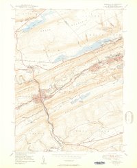
1950 Map of Tamaqua
USGS Topo · Published 1950About this map
Tamaqua and the surrounding anthracite coal country are defined by a complex industrial geography where ridge-top settlements and valley rail hubs meet. The landscape is carved by intensive mining activity, particularly along Nesquehoning Mountain and Pisgah Ridge, where numerous Mine sites and strip-mine contours dominate the terrain. The Little Schuylkill River and Panther Creek serve as the primary drainage for this heavily modified basin, while the Arlington Yards and intersecting lines of the Reading Co and Lehigh Valley RR highlight the area's role as a major transportation nexus. Local community life is visible in the scattered rural schools like Owl Creek Sch and the Odd Fellows Cem, providing essential points of reference for genealogists tracking families in the coal townships during the mid-20th century.
Find a feature on this map
53 named features on this map. Tap any name to fly to it.
Don’t see what you’re looking for? This feature index may not catch every label — zoom into the map to look around manually.
Map Details
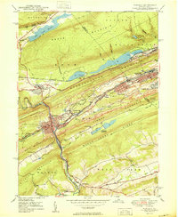
Editions of this 1950 Tamaqua Map
2 editions found
Other maps of this area

1889 · Hazleton
USGS Topo · 1:62,500

1889 · Pottsville
USGS Topo · 1:62,500

1891 · Hazleton
USGS Topo · 1:62,500

1891 · Pottsville
USGS Topo · 1:62,500

1892 · Mahanoy
USGS Topo · 1:62,500

1893 · Hazleton
USGS Topo · 1:62,500

1893 · Mahanoy
USGS Topo · 1:62,500

1909 · Hamburg
USGS Topo · 1:62,500

1911 · Hamburg
USGS Topo · 1:62,500

1944 · Orwigsburg
USGS Topo · 1:24,000