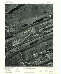
1976 Map of Tamaqua
USGS Topo · Published 1979About this map
Tamaqua and the surrounding anthracite coal region are captured here during the mid-1970s, showcasing a landscape defined by industrial extraction and ridge-and-valley topography. The settlements of Goaldale, Lansford, and Summit Hill are tightly clustered along the base of Nesquehoning Mountain, revealing the dense residential patterns typical of Pennsylvania's mining towns. Between these communities and Pisgah Mountain, the earth shows the extensive footprint of surface mining operations that long drove the local economy.
Find a feature on this map
14 named features on this map. Tap any name to fly to it.
Don’t see what you’re looking for? This feature index may not catch every label — zoom into the map to look around manually.
Map Details
Editions of this 1976 Tamaqua Map
This is the sole edition of this map. No revisions or reprints were ever made.
Other maps of this area

1889 · Hazleton
USGS Topo · 1:62,500

1889 · Pottsville
USGS Topo · 1:62,500

1891 · Hazleton
USGS Topo · 1:62,500

1891 · Pottsville
USGS Topo · 1:62,500

1892 · Mahanoy
USGS Topo · 1:62,500

1893 · Hazleton
USGS Topo · 1:62,500

1893 · Mahanoy
USGS Topo · 1:62,500

1909 · Hamburg
USGS Topo · 1:62,500

1911 · Hamburg
USGS Topo · 1:62,500

1944 · Orwigsburg
USGS Topo · 1:24,000