Loading...
Loading map...2024 Map of Tamaroa
USGS Topo · Published 2024About this map
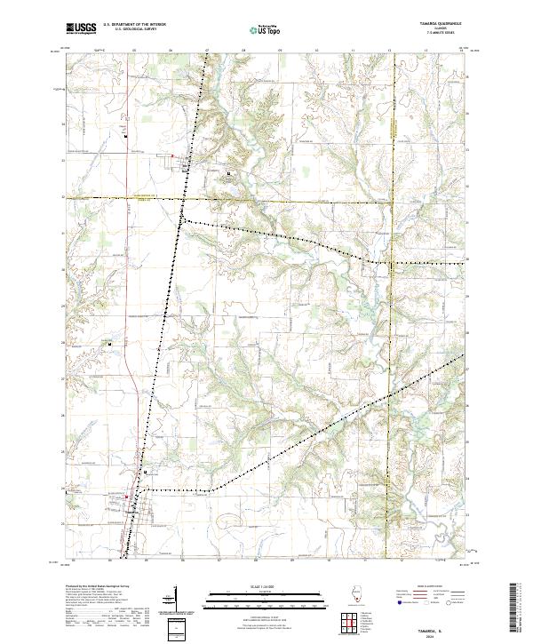
The village of Tamaroa serves as the southern anchor of this Perry County landscape, where the flat agricultural terrain begins to fold into the drainages of the Little Muddy River. This area is defined by a dense network of small waterways, including Collier Creek and Eaton Creek, which have shaped the local land use and transport patterns. Further north, the settlement of Du Bois sits near the border with Washington County, connected by the long-standing corridor of US Rte 51.
Find a feature on this map
88 named features on this map. Tap any name to fly to it.
Don’t see what you’re looking for? This feature index may not catch every label — zoom into the map to look around manually.
Map Details
Date Portrayed2024
Date Published2024
PublisherU.S. Geological Survey
Map TypeTopographic
Scale1:24000
Physical Dimensions24 x 29 inches
Editions of this 2024 Tamaroa Map
This is the sole edition of this map. No revisions or reprints were ever made.
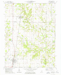
Historical Maps of Du Bois Through Time
Featured Locations
Source Details
SourceU.S. Geological Survey
CopyrightPublic Domain