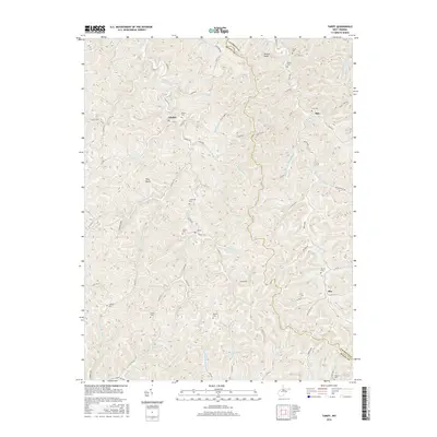
2016 Map of Tariff
USGS Topo · Published 2016About this map
Henry Fork and its winding tributaries dominate this 2016 study of the Roane and Calhoun county border. This landscape is defined by the rural settlements of Linden, Milo, Tariff, and Oka, each serving as a historical anchor for the surrounding hollows. The area maintains a high concentration of family burial grounds, such as Young Cem, Chewing Cem, and Bailey Cem, providing invaluable data for genealogists tracing regional lineages. Distinctive landmarks like King Rocks and the elevation of Desert Knob break the repetitive ridge-and-valley topography. The map illustrates a complex network of county roads, including Tariff Rd and Milo Rd, which follow the natural drainage patterns of Maple Run, Wolf Run, and Simmons Fork. The presence of Silcott Lake offers a rare stationary water feature in an otherwise fluid drainage system of runs and forks.
Find a feature on this map
76 named features on this map. Tap any name to fly to it.
Don’t see what you’re looking for? This feature index may not catch every label — zoom into the map to look around manually.
Map Details
Editions of this 2016 Tariff Map
This is the sole edition of this map. No revisions or reprints were ever made.
Other maps of this area

1906 · Otter
USGS Topo · 1:62,500

1906 · Walton
USGS Topo · 1:62,500

1907 · Otter
USGS Topo · 1:62,500

1907 · Arnoldsburg
USGS Topo · 1:62,500

1907 · Spencer
USGS Topo · 1:62,500

1907 · Walton
USGS Topo · 1:62,500

1925 · Arnoldsburg
USGS Topo · 1:62,500

1927 · Arnoldsburg
USGS Topo · 1:62,500

1928 · Spencer
USGS Topo · 1:62,500

1954 · Charleston
USGS Topo · 1:250,000