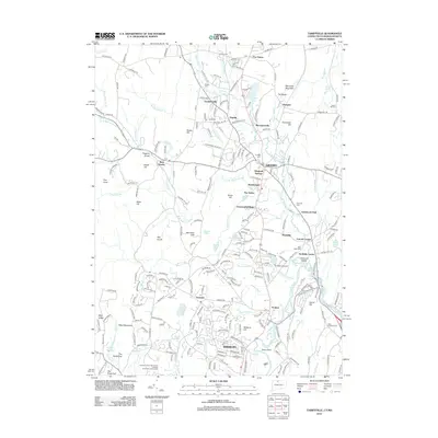
2012 Map of Tariffville
USGS Topo · Published 2012About this map
Simsbury and Granby anchor this early 21st-century landscape where the Farmington River valley meets the distinctive ridges of the West Mountains. The map reveals a high density of named residential enclaves and historic crossroads such as Goodrichville, Pegville, and Mechanicsville, alongside newer developments like Windmill Springs and Chatsworth Village. The geography is defined by the winding course of the Farmington River and its numerous tributaries, including Salmon Brook and Bissell Brook.
Find a feature on this map
250 named features on this map. Tap any name to fly to it.
Don’t see what you’re looking for? This feature index may not catch every label — zoom into the map to look around manually.
Map Details
Editions of this 2012 Tariffville Map
This is the sole edition of this map. No revisions or reprints were ever made.
Other maps of this area

1886 · Springfield
USGS Topo · 1:62,500

1887 · Granville
USGS Topo · 1:62,500

1889 · Springfield
USGS Topo · 1:62,500

1889 · Granville
USGS Topo · 1:62,500

1892 · Hartford
USGS Topo · 1:62,500

1892 · Granby
USGS Topo · 1:62,500

1893 · Springfield
USGS Topo · 1:62,500

1893 · Granville
USGS Topo · 1:62,500

1895 · Springfield
USGS Topo · 1:62,500

1895 · Granville
USGS Topo · 1:62,500