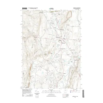
2015 Map of Tariffville
USGS Topo · Published 2015About this map
Tariffville and the Farmington River valley define the eastern edge of this terrain, where the river cuts through the dramatic rise of Metacomet Ridge. This area shows a complex network of established settlements, from the residential clusters of Granby and Simsbury to smaller communities like West Granby, Firetown, and Hungary. The landscape is deeply marked by its glacial and geological history, featuring prominent heights like Manitook Mtn, Barndoor Hills, and The Sugarloaf.
Find a feature on this map
89 named features on this map. Tap any name to fly to it.
Don’t see what you’re looking for? This feature index may not catch every label — zoom into the map to look around manually.
Map Details
Editions of this 2015 Tariffville Map
This is the sole edition of this map. No revisions or reprints were ever made.
Other maps of this area

1886 · Springfield
USGS Topo · 1:62,500

1887 · Granville
USGS Topo · 1:62,500

1889 · Springfield
USGS Topo · 1:62,500

1889 · Granville
USGS Topo · 1:62,500

1892 · Hartford
USGS Topo · 1:62,500

1892 · Granby
USGS Topo · 1:62,500

1893 · Springfield
USGS Topo · 1:62,500

1893 · Granville
USGS Topo · 1:62,500

1895 · Springfield
USGS Topo · 1:62,500

1895 · Granville
USGS Topo · 1:62,500