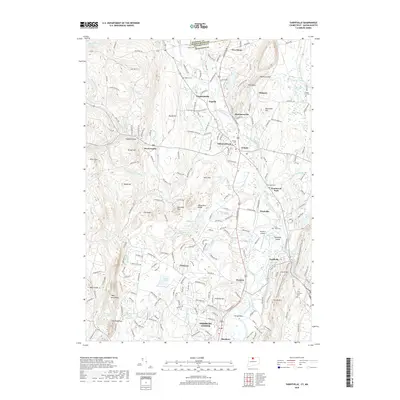
2018 Map of Tariffville
USGS Topo · Published 2018About this map
The Farmington River carves through a landscape of ridges and valley floor at the northern edge of Connecticut, where the state line meets Hampden County. This 2018 survey detail shows a dense network of residential development and preserved terrain, centered on the historic nodes of Simsbury Center and the village of Tariffville. The prominent north-south spine of Metacomet Ridge and Talcott Mountain dominates the eastern view, while the western side of the map climbs toward the West Mountains.
Find a feature on this map
198 named features on this map. Tap any name to fly to it.
Don’t see what you’re looking for? This feature index may not catch every label — zoom into the map to look around manually.
Map Details
Editions of this 2018 Tariffville Map
This is the sole edition of this map. No revisions or reprints were ever made.
Other maps of this area

1886 · Springfield
USGS Topo · 1:62,500

1887 · Granville
USGS Topo · 1:62,500

1889 · Springfield
USGS Topo · 1:62,500

1889 · Granville
USGS Topo · 1:62,500

1892 · Hartford
USGS Topo · 1:62,500

1892 · Granby
USGS Topo · 1:62,500

1893 · Springfield
USGS Topo · 1:62,500

1893 · Granville
USGS Topo · 1:62,500

1895 · Springfield
USGS Topo · 1:62,500

1895 · Granville
USGS Topo · 1:62,500