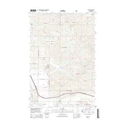
2014 Map of Tarkio
USGS Topo · Published 2014About this map
Tarkio and the Longview Ranch occupy the lowlands along the Clark Fork river, where the valley floor provides a rare break in the surrounding peaks of the Lolo National Forest. The geography is defined by deep drainages and high ridges, notably the Ninemile Divide and Cobden Peak to the north. These summits overlook a network of watercourses including Miller Creek and Nemote Creek, which carve out steep-walled features like Micayune Gulch and Malley Gulch.
Find a feature on this map
54 named features on this map. Tap any name to fly to it.
Don’t see what you’re looking for? This feature index may not catch every label — zoom into the map to look around manually.
Map Details
Editions of this 2014 Tarkio Map
This is the sole edition of this map. No revisions or reprints were ever made.
Other maps of this area

1911 · Lolo
USGS Topo · 1:250,000

1913 · Lolo
USGS Topo · 1:250,000

1956 · Wallace
USGS Topo · 1:250,000

1956 · Hamilton
USGS Topo · 1:250,000

1959 · Hamilton
USGS Topo · 1:250,000

1959 · Tarkio
USGS Topo · 1:62,500

1960 · Wallace
USGS Topo · 1:250,000

1960 · Hamilton
USGS Topo · 1:250,000

1960 · Superior
USGS Topo · 1:62,500

1960 · Straight Peak
USGS Topo · 1:62,500