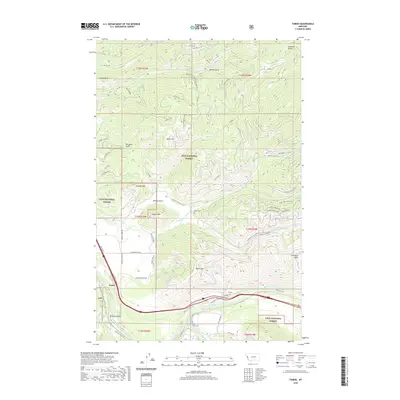
2020 Map of Tarkio
USGS Topo · Published 2020About this map
Tarkio sits at a strategic bend of the Clark Fork river, where the valley floor meets the high ridges of the Lolo National Forest. The landscape is defined by its verticality, rising from the riverbank to significant summits like Cobden Peak and Graham Mtn. This area serves as a transit corridor, with Old Hwy 10 W and newer routes following the river's path, reflecting the historic movement of people and goods through these mountain passes.
Find a feature on this map
59 named features on this map. Tap any name to fly to it.
Don’t see what you’re looking for? This feature index may not catch every label — zoom into the map to look around manually.
Map Details
Editions of this 2020 Tarkio Map
This is the sole edition of this map. No revisions or reprints were ever made.
Other maps of this area

1911 · Lolo
USGS Topo · 1:250,000

1913 · Lolo
USGS Topo · 1:250,000

1956 · Wallace
USGS Topo · 1:250,000

1956 · Hamilton
USGS Topo · 1:250,000

1959 · Hamilton
USGS Topo · 1:250,000

1959 · Tarkio
USGS Topo · 1:62,500

1960 · Wallace
USGS Topo · 1:250,000

1960 · Hamilton
USGS Topo · 1:250,000

1960 · Superior
USGS Topo · 1:62,500

1960 · Straight Peak
USGS Topo · 1:62,500