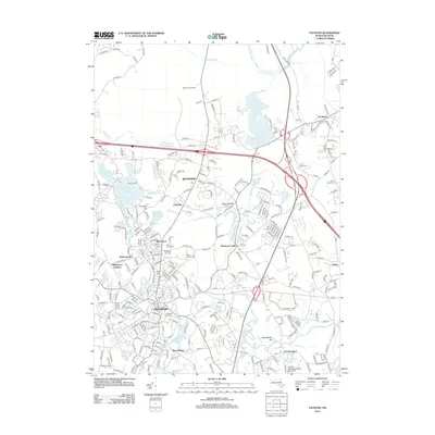
2012 Map of Taunton
USGS Topo · Published 2012About this map
The Taunton River and its many tributaries, including Forge River and Mill River, define the industrial and residential geography of this Bristol County region. By the early 21st century, the area shows a dense network of suburban development intertwined with historic industrial nodes like Whittenton Junction and Weir Village. The map captures a mix of traditional New England village centers, such as Raynham Center, alongside more modern recreational and commercial footprints like the Raynham Racetrack. Local history is preserved in landmarks such as the Neck of Land Cem, while the natural landscape is dominated by significant water bodies including Lake Nippenicket in the north and Lake Sabbatia to the west. This period reflects a landscape where early settlement patterns at Prattville and Britanniaville have been absorbed into the modern expanding reaches of the city.
Find a feature on this map
155 named features on this map. Tap any name to fly to it.
Don’t see what you’re looking for? This feature index may not catch every label — zoom into the map to look around manually.
Map Details
Editions of this 2012 Taunton Map
This is the sole edition of this map. No revisions or reprints were ever made.
Other maps of this area

1885 · Abington
USGS Topo · 1:62,500

1885 · Middleboro
USGS Topo · 1:62,500

1885 · Taunton
USGS Topo · 1:62,500

1886 · Dedham
USGS Topo · 1:62,500

1888 · Taunton
USGS Topo · 1:62,500

1888 · Middleboro
USGS Topo · 1:62,500

1888 · Abington
USGS Topo · 1:62,500

1893 · Abington
USGS Topo · 1:62,500

1893 · Taunton
USGS Topo · 1:62,500

1893 · Middleboro
USGS Topo · 1:62,500