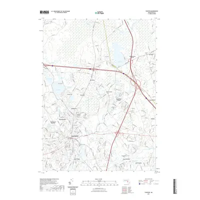
2021 Map of Taunton
USGS Topo · Published 2021About this map
The Bristol County Superior Court House anchors the urban core of Taunton, where industrial and civic history meet at the confluence of the Mill River and the Taunton River. This 2021 survey details a landscape defined by its complex hydrology, from the vast Hockomock Swamp and Titicut Swamp to the recreational waters of Lake Sabbatia and Lake Nippenicket. The map highlights the distinct neighborhoods and villages that comprise the area, including Whittenton, Britanniaville, and Weir Village.
Find a feature on this map
59 named features on this map. Tap any name to fly to it.
Don’t see what you’re looking for? This feature index may not catch every label — zoom into the map to look around manually.
Map Details
Editions of this 2021 Taunton Map
This is the sole edition of this map. No revisions or reprints were ever made.
Other maps of this area

1885 · Abington
USGS Topo · 1:62,500

1885 · Middleboro
USGS Topo · 1:62,500

1885 · Taunton
USGS Topo · 1:62,500

1886 · Dedham
USGS Topo · 1:62,500

1888 · Taunton
USGS Topo · 1:62,500

1888 · Middleboro
USGS Topo · 1:62,500

1888 · Abington
USGS Topo · 1:62,500

1893 · Abington
USGS Topo · 1:62,500

1893 · Taunton
USGS Topo · 1:62,500

1893 · Middleboro
USGS Topo · 1:62,500