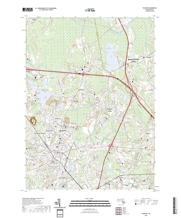
2024 Map of Taunton
USGS Topo · Published 2024About this map
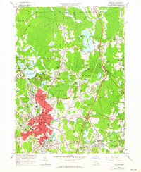
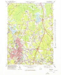
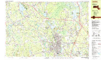
Taunton serves as the focal point of this 2024 survey, situated at the confluence of the Mill River and the Taunton River. The landscape is defined by its extensive wetlands and industrial history, from the northern expanse of the Hockomock Swamp to the residential and commercial districts of Britanniaville, Whittenton, and Weir Village. The dense concentration of family and community burial grounds, such as the Ox Bow Farm Cem and Neck of Land Cem, provides a significant record of the region’s long-standing genealogical history.
Find a feature on this map
256 named features on this map. Tap any name to fly to it.
Don’t see what you’re looking for? This feature index may not catch every label — zoom into the map to look around manually.
Map Details
Editions of this 2024 Taunton Map
This is the sole edition of this map. No revisions or reprints were ever made.
Historical Maps of West Bridgewater Through Time
12 maps found

1885 Taunton
Bristol County, MA

1888 Taunton
Bristol County, MA
1893 Taunton
Bristol County, MA

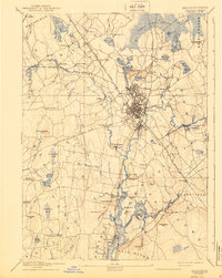
1918 Taunton
Bristol County, MA
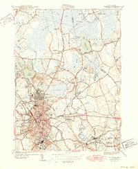
1944 Taunton
Bristol County, MA
1949 Taunton
Bristol County, MA
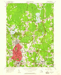
1962 Taunton
Bristol County, MA

1977 Taunton
Bristol County, MA
1978 Taunton
Bristol County, MA

1979 Taunton
Bristol County, MA
1987 Taunton
Bristol County, MA
2024 Taunton
Bristol County, MA