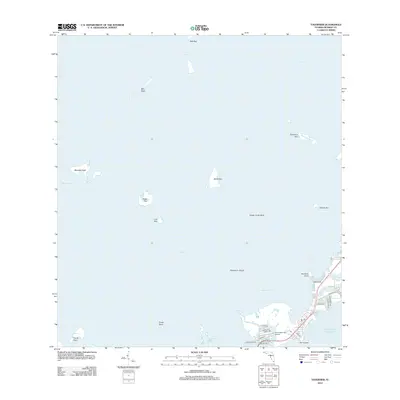
2012 Map of Tavernier
USGS Topo · Published 2012About this map
Florida Bay dominates this coastal landscape where the Upper Keys meet the open waters of the Atlantic Ocean. The residential and aviation enclave near Tavernaero Park Airport serves as a focal point for the local community, which is situated along a network of streets including Burton Dr and Bessie Rd. This era shows a heavily developed shoreline at Hammer Point and around Tavernier Harbor, where man-made canals and inlets provide water access for local residents.
Find a feature on this map
35 named features on this map. Tap any name to fly to it.
Don’t see what you’re looking for? This feature index may not catch every label — zoom into the map to look around manually.
Map Details
Editions of this 2012 Tavernier Map
This is the sole edition of this map. No revisions or reprints were ever made.
Other maps of this area
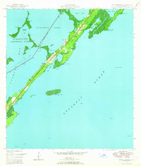
1947 · Rock Harbor
USGS Topo · 1:24,000
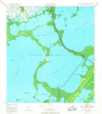
1947 · Blackwater Sound
USGS Topo · 1:24,000
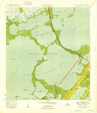
1949 · Blackwater Sound
USGS Topo · 1:24,000
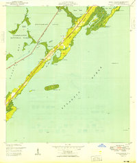
1949 · Rock Harbor
USGS Topo · 1:24,000
1956 · Miami
USGS Topo · 1:250,000
1958 · Miami
USGS Topo · 1:250,000
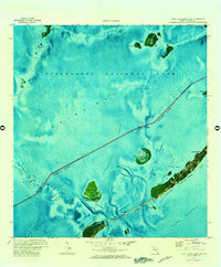
1971 · Upper Matecumbe Key
USGS Topo · 1:24,000
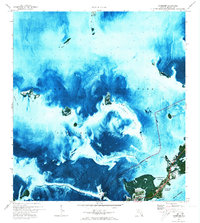
1971 · Tavernier
USGS Topo · 1:24,000
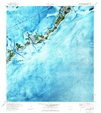
1971 · Plantation Key
USGS Topo · 1:24,000
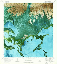
1972 · Madeira Bay
USGS Topo · 1:24,000