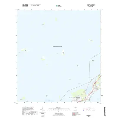
2018 Map of Tavernier
USGS Topo · Published 2018About this map
Florida Bay and the turquoise waters of the Everglades National Park dominate this survey, which captures the unique island geography of the upper Florida Keys. The landscape is defined by a string of coral islands connected by the Old Overseas Hwy, focusing on the transition between Key Largo and Plantation Key. Within the municipality of Islamorada, Village of Islands, the community of Tavernier serves as a central hub, with its residential streets like Camelot Dr and Burton Dr clustered around Tavernier Harbor and Tavernier Creek. Maritime life is etched into the map through the Intracoastal Waterway and various navigational features such as Ramshorn Cut and Cowpens Cut. The layout of this coastal settlement reflects a modern reliance on both the highway and water access, evidenced by the private strips at Tavernaero Park Airport and the numerous small keys like Bob Keys and Stake Key dotting the bay.
Find a feature on this map
42 named features on this map. Tap any name to fly to it.
Don’t see what you’re looking for? This feature index may not catch every label — zoom into the map to look around manually.
Map Details
Editions of this 2018 Tavernier Map
This is the sole edition of this map. No revisions or reprints were ever made.
Other maps of this area
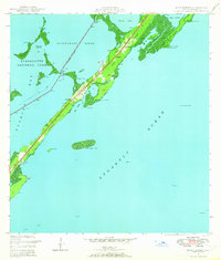
1947 · Rock Harbor
USGS Topo · 1:24,000
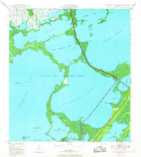
1947 · Blackwater Sound
USGS Topo · 1:24,000
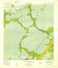
1949 · Blackwater Sound
USGS Topo · 1:24,000
1949 · Rock Harbor
USGS Topo · 1:24,000
1956 · Miami
USGS Topo · 1:250,000
1958 · Miami
USGS Topo · 1:250,000
1971 · Upper Matecumbe Key
USGS Topo · 1:24,000
1971 · Tavernier
USGS Topo · 1:24,000
1971 · Plantation Key
USGS Topo · 1:24,000
1972 · Madeira Bay
USGS Topo · 1:24,000