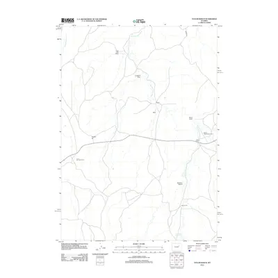
2012 Map of Taylor Ranch
USGS Topo · Published 2012About this map
The Bozeman Trl cuts through the northeastern corner of this Wyoming landscape, marking a historic transportation corridor across the high plains of Campbell County. This 2012 survey reveals a region defined by extensive ranching operations and water management, where the Dry Fork Powder River and its numerous draws like Lone Tree Draw and Crawford Draw dictate the placement of local infrastructure. Significant family-named landmarks including Taylor Ranch, U T Ranch, and Moore Ranch are joined by the Iberlin Ranch Airport Nr 2, reflecting the logistical needs of these remote holdings. The presence of the Tom B Carr Scout Camp and the Pine Dale Reservoir highlights the area's utility for both recreation and essential resource storage in a semi-arid environment.
Find a feature on this map
15 named features on this map. Tap any name to fly to it.
Don’t see what you’re looking for? This feature index may not catch every label — zoom into the map to look around manually.
Map Details
Editions of this 2012 Taylor Ranch Map
This is the sole edition of this map. No revisions or reprints were ever made.
Other maps of this area
1953 · Dry Fork Ranch
USGS Topo · 1:24,000
1953 · Rolling Pin Ranch
USGS Topo · 1:24,000
1954 · House Creek
USGS Topo · 1:24,000
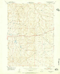
1954 · Artesian Draw
USGS Topo · 1:24,000
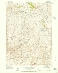
1954 · Linch
USGS Topo · 1:24,000
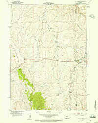
1954 · Taylor Ranch
USGS Topo · 1:24,000

1955 · Newcastle
USGS Topo · 1:250,000

1955 · Arminto
USGS Topo · 1:250,000

1958 · Arminto
USGS Topo · 1:250,000

1958 · Newcastle
USGS Topo · 1:250,000