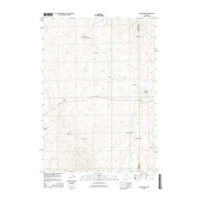
2015 Map of Taylor Ranch
USGS Topo · Published 2015About this map
Dry Fork Powder River and its various tributaries define this ranchland landscape along the boundary of Johnson and Campbell counties. The drainage network is characterized by numerous named draws such as Lone Tree Draw, Crawford Draw, and Davis Draw, which shape the high plains topography. Central to the local infrastructure is Taylor Ranch and the nearby Ibertin Ranch Number 2 Airport, indicating the continued importance of aviation for large-scale agricultural operations in this part of Wyoming.
Find a feature on this map
22 named features on this map. Tap any name to fly to it.
Don’t see what you’re looking for? This feature index may not catch every label — zoom into the map to look around manually.
Map Details
Editions of this 2015 Taylor Ranch Map
This is the sole edition of this map. No revisions or reprints were ever made.
Other maps of this area
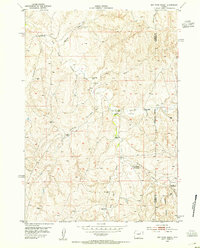
1953 · Dry Fork Ranch
USGS Topo · 1:24,000
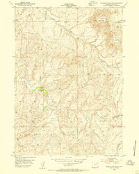
1953 · Rolling Pin Ranch
USGS Topo · 1:24,000
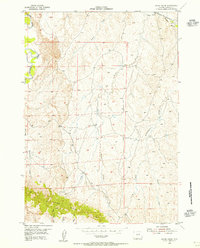
1954 · House Creek
USGS Topo · 1:24,000
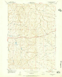
1954 · Artesian Draw
USGS Topo · 1:24,000
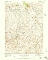
1954 · Linch
USGS Topo · 1:24,000
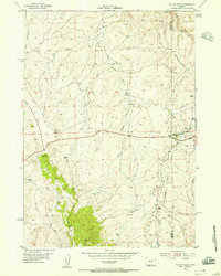
1954 · Taylor Ranch
USGS Topo · 1:24,000

1955 · Newcastle
USGS Topo · 1:250,000

1955 · Arminto
USGS Topo · 1:250,000

1958 · Arminto
USGS Topo · 1:250,000

1958 · Newcastle
USGS Topo · 1:250,000