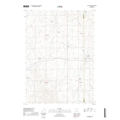
2017 Map of Taylor Ranch
USGS Topo · Published 2017About this map
The Bozeman Trl cuts across this high plains landscape, marking the legacy of the historic overland route through the Powder River Basin. Situated along the border of Johnson and Campbell counties, the area is defined by the winding course of the Dry Fork Powder River and the high ground of Pine Ridge. The settlement pattern is characterized by isolated ranching operations and aviation infrastructure, such as Taylor Ranch and the Iberlin Ranch Number 2 Airport. Numerous named topographic features, including Pugsley Hill and Schooner Canyon, reflect a landscape deeply tied to the movement of livestock and water management, evidenced by the Pine Dale Reservoir in the southern portion of the quadrangle.
Find a feature on this map
21 named features on this map. Tap any name to fly to it.
Don’t see what you’re looking for? This feature index may not catch every label — zoom into the map to look around manually.
Map Details
Editions of this 2017 Taylor Ranch Map
This is the sole edition of this map. No revisions or reprints were ever made.
Other maps of this area
1953 · Dry Fork Ranch
USGS Topo · 1:24,000
1953 · Rolling Pin Ranch
USGS Topo · 1:24,000
1954 · House Creek
USGS Topo · 1:24,000
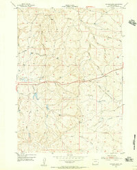
1954 · Artesian Draw
USGS Topo · 1:24,000
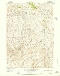
1954 · Linch
USGS Topo · 1:24,000
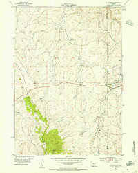
1954 · Taylor Ranch
USGS Topo · 1:24,000

1955 · Newcastle
USGS Topo · 1:250,000

1955 · Arminto
USGS Topo · 1:250,000

1958 · Arminto
USGS Topo · 1:250,000

1958 · Newcastle
USGS Topo · 1:250,000