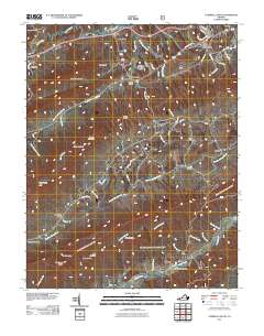
2011 Map of Tazewell South
USGS Topo · Published 2011About this map
The Clinch River meanders across the northern reaches of this landscape, anchoring a region defined by narrow valleys and prominent ridges. Wittens Fort and Pisgah sit along the river corridor, while the town of Tazewell occupies the northeastern corner, its residential streets like Marion Ave and Hotel Ave giving way to the surrounding mountain terrain. To the south, the map details a series of agricultural and residential pockets including Thompson Valley, Witten Valley, and the crossroads at Pucketts Store. The topography is marked by distinctive elevations such as Deskin Mountain, Battle Knob, and Tater Knob, which separate the various branches of Plum Creek and Maiden Spring Creek. This network of small settlements like Criggers, Asberrys, and Benbow illustrates the traditional Appalachian settlement pattern where communities formed in the level land between high ridges like Knob Mountain and Morris Knob.
Find a feature on this map
69 named features on this map. Tap any name to fly to it.
Don’t see what you’re looking for? This feature index may not catch every label — zoom into the map to look around manually.
Map Details
Editions of this 2011 Tazewell South Map
This is the sole edition of this map. No revisions or reprints were ever made.
Other maps of this area

1887 · Pocahontas
USGS Topo · 1:125,000

1889 · Wytheville
USGS Topo · 1:125,000

1891 · Tazewell
USGS Topo · 1:125,000

1891 · Pocahontas
USGS Topo · 1:125,000

1891 · Abingdon
USGS Topo · 1:125,000

1892 · Wytheville
USGS Topo · 1:125,000

1894 · Pocahontas
USGS Topo · 1:125,000

1894 · Abingdon
USGS Topo · 1:125,000

1895 · Tazewell
USGS Topo · 1:125,000

1895 · Pocahontas
USGS Topo · 1:125,000