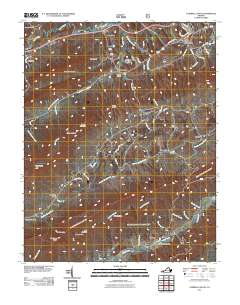
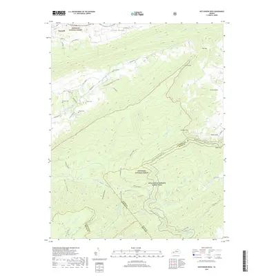
2022 Map of Tazewell South
USGS Topo · Published 2022About this map
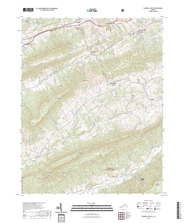
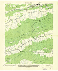
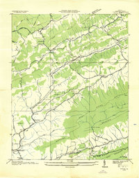
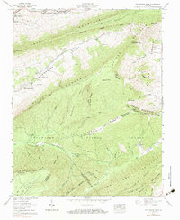
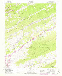
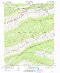
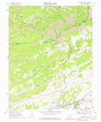
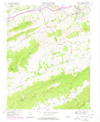
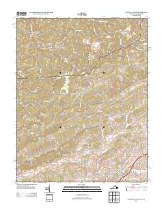
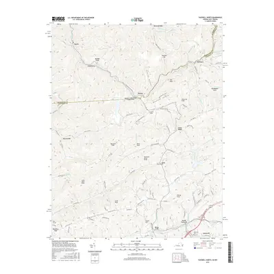
Tazewell County Courthouse serves as the focal point for this Southwest Virginia map, anchoring the town of Tazewell in a region defined by its prominent ridgelines and narrow limestone valleys. The landscape follows a striking parallel structure, with Witten Valley and Thompson Valley separated by high peaks like Knob Mtn and Rich Mtn. The historic Wittens Fort and the settlement of Pisgah lie along the northern transport corridor near the Clinch River, while the southern reaches transition into the protected wilderness of the Jefferson National Forest. Notable landmarks such as Chimney Rock and Battle Knob overlook the varied terrain of Clinch Mountain, which dominates the lower half of the quadrangle. This 2022 survey details the enduring agricultural and residential patterns of these mountain valleys, from the community of Frog Level to the quiet hollows of Asberrys and Possum Hollow.
Find a feature on this map
94 named features on this map. Tap any name to fly to it.
Don’t see what you’re looking for? This feature index may not catch every label — zoom into the map to look around manually.
Map Details
Editions of this 2022 Tazewell South Map
This is the sole edition of this map. No revisions or reprints were ever made.
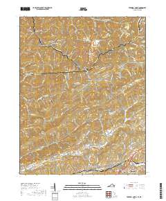
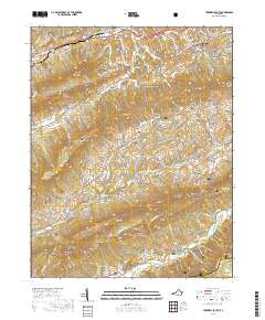
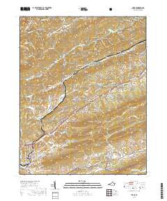
Historical Maps of Tazewell Through Time
37 maps found
1934 Bandy
Tazewell County, VA
1934 Liberty
Tazewell County, VA
1935 Hutchinson Rock
Tazewell County, VA
1935 Nye Cove
Tazewell County, VA
1935 Tiptop
Tazewell County, VA
1936 Burkes Garden
Tazewell County, VA
1941 Burkes Garden
Tazewell County, VA
1958 Hutchinson Rock
Tazewell County, VA
1958 Tiptop
Tazewell County, VA
1968 Cove Creek
Tazewell County, VA
1968 Tazewell North
Tazewell County, VA
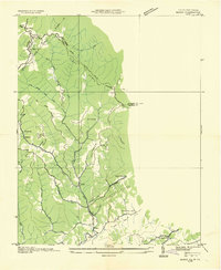
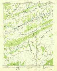
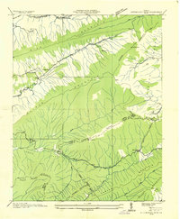
1968 Tazewell South
Tazewell County, VA
2011 Cove Creek
Tazewell County, VA
2011 Hutchinson Rock
Tazewell County, VA
2011 Tazewell North
Tazewell County, VA
2011 Tazewell South
Tazewell County, VA
2011 Tiptop
Tazewell County, VA
2013 Cove Creek
Tazewell County, VA
2013 Hutchinson Rock
Tazewell County, VA
2013 Tazewell North
Tazewell County, VA

2013 Tazewell South
Tazewell County, VA
2013 Tiptop
Tazewell County, VA
2016 Cove Creek
Tazewell County, VA
2016 Hutchinson Rock
Tazewell County, VA
2016 Tazewell North
Tazewell County, VA
2016 Tazewell South
Tazewell County, VA
2016 Tiptop
Tazewell County, VA
2019 Cove Creek
Tazewell County, VA
2019 Hutchinson Rock
Tazewell County, VA
2019 Tazewell North
Tazewell County, VA
2019 Tazewell South
Tazewell County, VA
2019 Tiptop
Tazewell County, VA
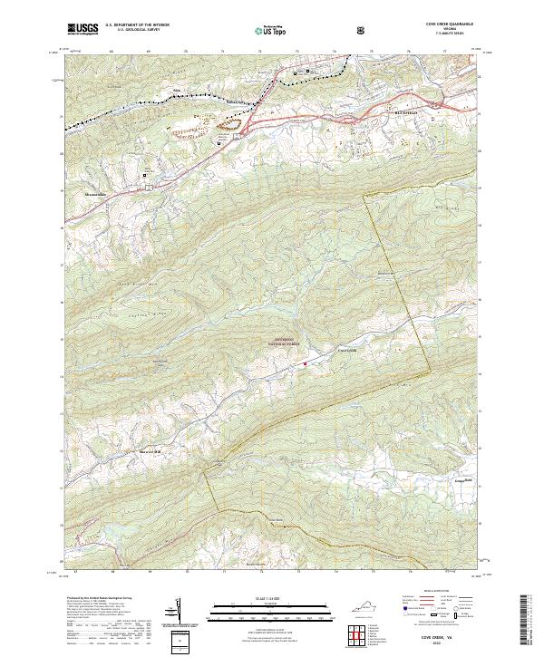
2022 Cove Creek
Tazewell County, VA
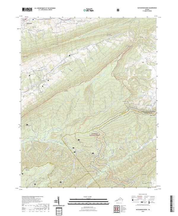
2022 Hutchinson Rock
Tazewell County, VA
2022 Tazewell South
Tazewell County, VA
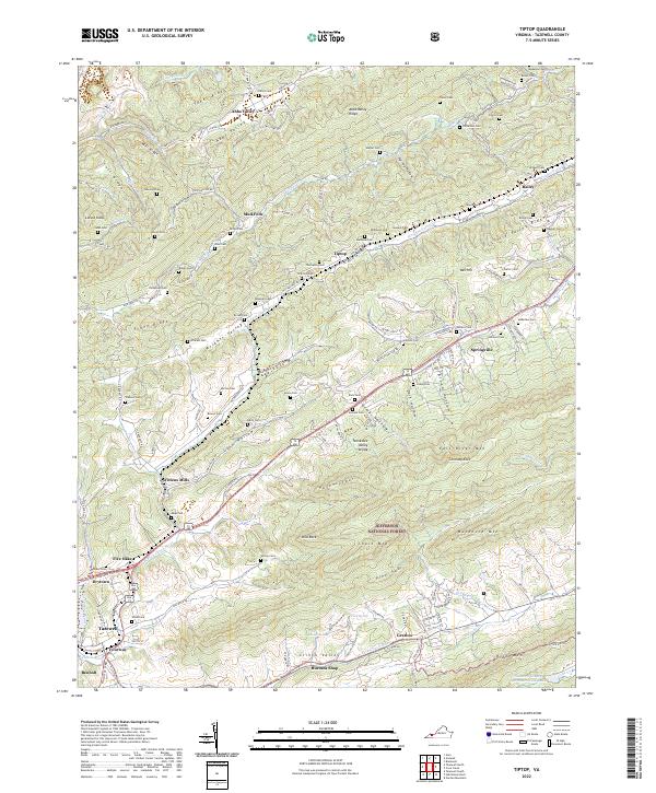
2022 Tiptop
Tazewell County, VA
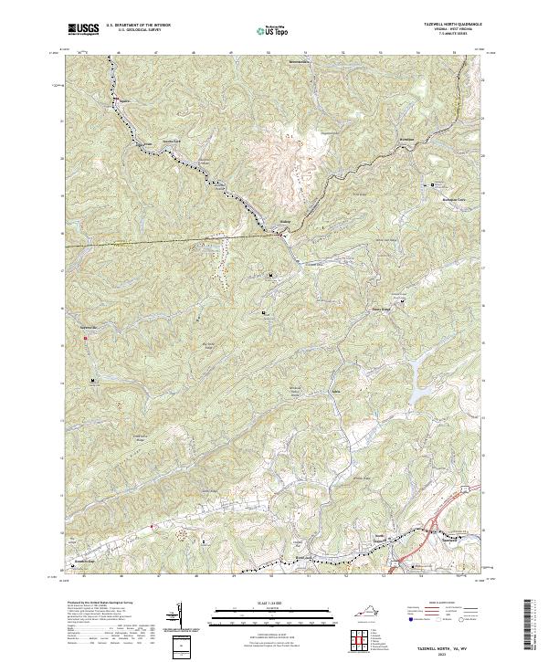
2023 Tazewell North
Tazewell County, VA