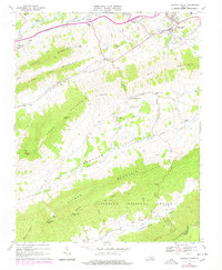
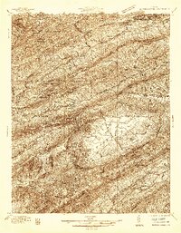
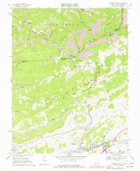
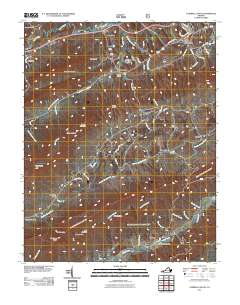
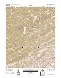
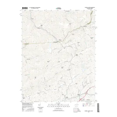
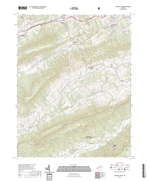
1968 Map of Tazewell South
USGS Topo · Published 1978About this map
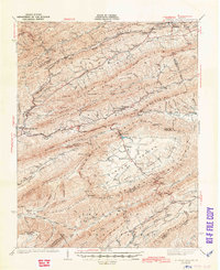
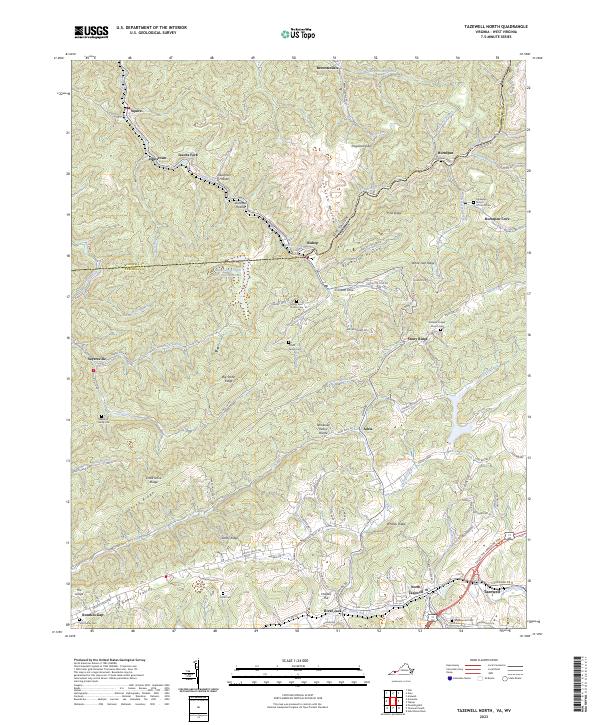
The Norfolk and Western railway corridor defines the northern edge of this landscape, connecting the coal-rich region through the valley of the Clinch River. This 1960s survey illustrates a rural Appalachian community organized around the long, parallel ridges of Paint Lick Mountain and Clinch Mountain. In the fertile Witten Valley and Thompson Valley between these heights, small settlements like Frog Level and Maiden represent the traditional agricultural heart of the county. High-elevation landmarks such as Morris Knob and Chimney Rock overlook a network of country churches, including Bundys Chapel and Pleasant Hill Ch, which served as the social anchors for these valley communities. The southern portion of the map transitions into the protected timberlands of the Jefferson National Forest, where the terrain steepens into the remote heights of Big Doubles and Little Doubles.
Find a feature on this map
47 named features on this map. Tap any name to fly to it.
Don’t see what you’re looking for? This feature index may not catch every label — zoom into the map to look around manually.
Map Details
Editions of this 1968 Tazewell South Map
2 editions found
Historical Maps of Tazewell Through Time
37 maps found
1934 Bandy
Tazewell County, VA
1934 Liberty
Tazewell County, VA
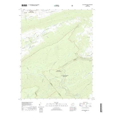
1935 Hutchinson Rock
Tazewell County, VA
1935 Nye Cove
Tazewell County, VA
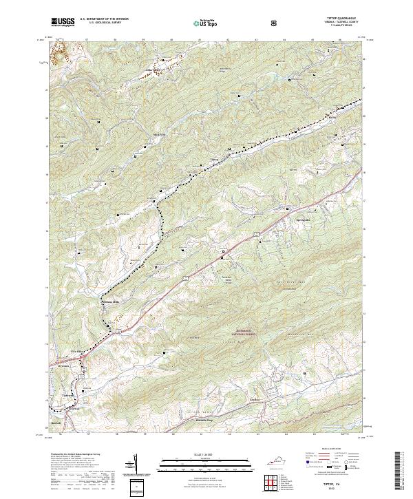
1935 Tiptop
Tazewell County, VA
1936 Burkes Garden
Tazewell County, VA
1941 Burkes Garden
Tazewell County, VA
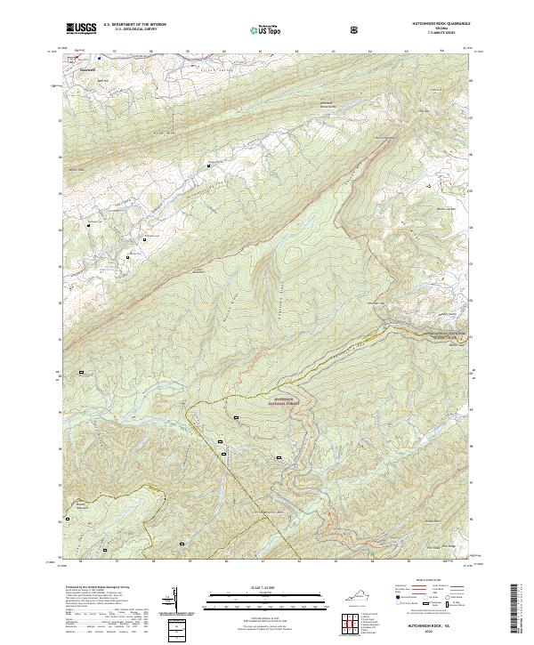
1958 Hutchinson Rock
Tazewell County, VA
1958 Tiptop
Tazewell County, VA
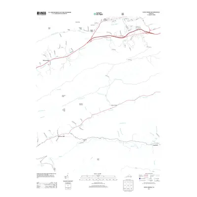
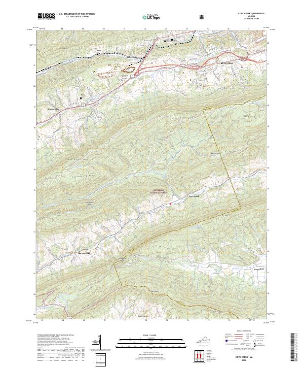
1968 Cove Creek
Tazewell County, VA
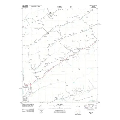
1968 Tazewell North
Tazewell County, VA
1968 Tazewell South
Tazewell County, VA
2011 Cove Creek
Tazewell County, VA
2011 Hutchinson Rock
Tazewell County, VA
2011 Tazewell North
Tazewell County, VA
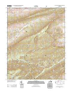
2011 Tazewell South
Tazewell County, VA
2011 Tiptop
Tazewell County, VA
2013 Cove Creek
Tazewell County, VA
2013 Hutchinson Rock
Tazewell County, VA
2013 Tazewell North
Tazewell County, VA

2013 Tazewell South
Tazewell County, VA
2013 Tiptop
Tazewell County, VA
2016 Cove Creek
Tazewell County, VA
2016 Hutchinson Rock
Tazewell County, VA
2016 Tazewell North
Tazewell County, VA
2016 Tazewell South
Tazewell County, VA
2016 Tiptop
Tazewell County, VA
2019 Cove Creek
Tazewell County, VA
2019 Hutchinson Rock
Tazewell County, VA
2019 Tazewell North
Tazewell County, VA
2019 Tazewell South
Tazewell County, VA
2019 Tiptop
Tazewell County, VA
2022 Cove Creek
Tazewell County, VA
2022 Hutchinson Rock
Tazewell County, VA
2022 Tazewell South
Tazewell County, VA
2022 Tiptop
Tazewell County, VA
2023 Tazewell North
Tazewell County, VA