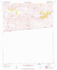
1960 Map of Tecate
USGS Topo · Published 1961About this map
Tecate sits directly on the international border in this early 1960s study of the San Diego County backcountry. The map details a landscape defined by hydraulic engineering and historical transit, featuring the San Diego City Conduit with its complex system of siphons, flumes, and tunnels snaking through the hills. This infrastructure highlights the critical role of water management in the region's development. Settlement is concentrated at Barrett Junction and Dulzura Summit, while the presence of the Old Stage Route and Tecate Road provides a view into the transportation corridors that linked these border communities. To the south, a Customhouse marks the entry point into Mexico. Notable peaks like Tecate Peak and Potrero Peak overlook the valleys where Cottonwood Creek and Potrero Creek flow, punctuated by local landmarks such as the Barrett Sch and various mountain springs.
Find a feature on this map
29 named features on this map. Tap any name to fly to it.
Don’t see what you’re looking for? This feature index may not catch every label — zoom into the map to look around manually.
Map Details
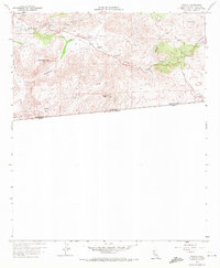
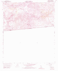
Editions of this 1960 Tecate Map
3 editions found
Other maps of this area

1903 · Cuyamaca
USGS Topo · 1:125,000

1904 · Southern California Sheet No. 2
USGS Topo · 1:250,000

1942 · Potrero
USGS Topo · 1:48,000

1943 · Jamul
USGS Topo · 1:62,500

1944 · Potrero
USGS Topo · 1:62,500

1950 · San Diego
USGS Topo · 1:250,000

1954 · San Diego
USGS Topo · 1:250,000

1955 · San Diego
USGS Topo · 1:250,000
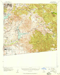
1955 · Jamul
USGS Topo · 1:62,500

1958 · San Diego
USGS Topo · 1:250,000