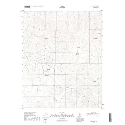
2018 Map of Tehachapi NE
USGS Topo · Published 2018About this map
The Mojave Desert meets the southernmost reaches of the Sierra Nevada in this study of Kern County’s high-altitude terrain. The landscape is defined by its dramatic verticality, rising toward Cache Peak and Sugarloaf Mtn. This area serves as a critical hydrological corridor where seasonal drainages like Cache Cr and Indian Cr navigate deep canyons. Named springs, including Goodwater Spring and Sweetwater Spring, indicate the vital water sources that have historically supported life in this arid environment.
Find a feature on this map
74 named features on this map. Tap any name to fly to it.
Don’t see what you’re looking for? This feature index may not catch every label — zoom into the map to look around manually.
Map Details
Editions of this 2018 Tehachapi NE Map
This is the sole edition of this map. No revisions or reprints were ever made.
Other maps of this area
1915 · Mojave
USGS Topo · 1:125,000
1943 · Tehachapi
USGS Topo · 1:62,500
1943 · Cross Mountain
USGS Topo · 1:62,500
1943 · Emerald Mtn
USGS Topo · 1:62,500
1943 · Mojave
USGS Topo · 1:62,500
1947 · Mojave
USGS Topo · 1:24,000
1948 · Bakersfield
USGS Topo · 1:250,000
1955 · Bakersfield
USGS Topo · 1:250,000
1956 · Bakersfield
USGS Topo · 1:250,000
1956 · Mojave
USGS Topo · 1:62,500